
Avalanche Bulletin
更新日時: 2025/03/05 07:00
Niseko Yotei Yoichi Shiribeshi
Alpine Good
Treeline Good
Below Treeline Good
信頼度:○ good □ Fair △ Low

Travel and Terrain Advice
SE winds will build windslab on slopes that are typically windward (facing into the wind). Look for windslab on all aspects in the alpine and treeline zones as old windslab from previous NW winds may still exist on slopes that were previously lee. The SE winds will help to support and stabilize cornices however cornices should also be treated with respect and caution. Expect variable skiing conditions in most parts of the region with a breakable crust on most solar aspects. Frozen tree bombs are also lurking in the forest.
Avalanche Problem
ウインドスラブ Wind slab








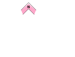
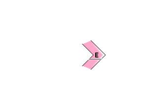
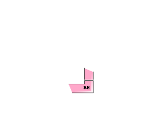
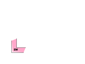
A change in wind direction today will cause reverse loading to occur while old windslab remains from the previous NW winds. Wind slab may be present on all aspects.
ストームスラブ Storm slab





The rise in temperatures today may activate the storm slab at lower elevations.
概要
Avalanche
No new avalanches have been reported in the past 24 hours.
Snowpack
A thin melt freeze crust developed on South aspects during yesterdays sunny weather up to 1200m. West and North aspects have been scoured by recent winds leaving wind stripped surfaces. NE and East aspects have 10-30cms of storm snow overlying a well settled mid and lower pack.
Weather
The high pressure system that dominated the region yesterday has moved to the East as a new low pressure system moves up from the South. This will bring moderate SE winds as freezing levels rise to 200m. Temperatures in the valley will reach a high of +2C. Skys are expected to be mostly overcast with snow showers starting in the afternoon.

