
Avalanche Bulletin
更新日時: 2025/03/14 05:00
Niseko Yotei Yoichi Shiribeshi
Alpine Low Hazard will increase with further snow accumulation and wind.
Treeline Low Hazard will increase with further snow accumulation and wind.
Below Treeline Low
信頼度:○ good □ Fair △ Low

Travel and Terrain Advice
There is a great deal of uncertainty in today’s conditions; after multiple days of warm temperatures and a rain event, snowfall has again begun to fall across the region. As snow accumulation grows slabs may become active if the new and old snow interface become overloaded. Strong North West will have transported snow onto lee slopes at upper elevations. Take the time to test the bond of this latest new snow before entering exposed terrain. Glide slabs remain a concern and terrain below these features should be avoided today.
Avalanche Problem
ウインドスラブ Wind slab





Up to 20cm of new snow has fallen overnight with strong to gale north west winds. These winds will have redistributed the latest new snow onto lee slopes and likely to will have created slabs at upper elevations.
ストームスラブ Storm slab


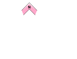

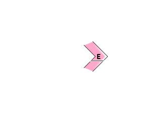
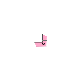
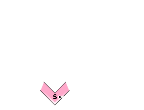



The latest new snow has fallen on a previously warmed upper snowpack with little information at present to suggest how this storm snow has bonded to the previous surface. Please show caution in terrain where new snow accumulation is higher and take the time to investigate the new old interface today.
全層雪崩 Glide slab











Continue to avoid terrain below glide cracks as rapid cooling may promote failures of these features today.
概要
Avalanche
Limited observations were made on Thursday, with no new avalanche activity reported.
Snowpack
Multiple days of melt freeze conditions and rain on Thursday had warmed the upper snowpack before temperatures began to lower late in the day. We have received up to 20cm of new snow overnight with strong to gale north west winds.
Weather
The freezing level has lowered to around 200 meters with north west winds rising to moderate and gusting to gale at upper elevations. We expect light to moderate snowfall throughout the day and continued north west winds gusting strong to gale.

