
Avalanche Bulletin
更新日時: 2025/03/16 05:30
Hakuba
Alpine Fair
Treeline Fair
Below Treeline Fair
信頼度:○ good □ Fair △ Low

Travel and Terrain Advice
At this time (5:30 AM), snowfall amounts are slight, but more snowfall is forecast. The new snow is on a very hard Melt-Freeze crust, and even a very small avalanche could catch you off-guard and cause you to slide down. In addition, very strong winds are blowing and combined with high temperatures, slab formation is likely to continue. With the amount of snowfall that follows, expect avalanche danger to increase rapidly. When visibility is poor, situational awareness of terrain is reduced. Careful terrain selection and conservative decision-making are needed on this day.
Avalanche Problem
ウインドスラブ Wind slab


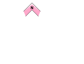

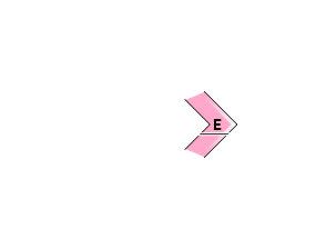
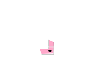


Assessment as of the morning. The likelihood of inducement increases with snowfall and the scale of inducement.
ストームスラブ Storm slab


Assessment as of morning. Scale will increase with future snowfall.
概要
Avalanche
No new avalanche reports were received yesterday (15th).
Snowpack
Snow from this morning is beginning to accumulate on the hard frozen slopes. Currently, snowfall amounts are slight, but the Nagano Prefectural Meteorological Office is forecasting 15 cm of snowfall. Due to the extremely strong southerly winds and the high moisture content of the snow due to the high temperatures, the new snow will quickly take on the characteristics of a slab. As a result, avalanche danger increases rapidly, at least on downwind side slopes.
Weather
A low pressure system is developing and moving northeastward along the southern coast of Japan. As a result, the Japan Meteorological Agency (JMA) is forecasting a southerly wind, snow or rain, and daytime high temperatures of 7 ºC (418 m elevation) for northern Nagano Prefecture. At AMeDAS Hakuba (elevation 703 m), the temperature is 0 °C (as of 5:00 pm), with 1.5 mm of precipitation in the past 12 hours. At the main ridge (elevation 2,400 m), the temperature is -7.1 °C (as of 5:00), with winds averaging 17 m/s and a maximum instantaneous wind speed of about 19 m/s.


