
Avalanche Bulletin
更新日時: 2025/03/19 04:30
Kagura Tanigawa Hotaka
Alpine Low No information on snowfall and wind effects
Treeline Low
Below Treeline Fair
信頼度:○ good □ Fair △ Low

Travel and Terrain Advice
Beware of bonding of storm slabs due to new snowfall. Beware of triggering in open areas with few trees and sudden changes in slope. Beware of glide avalanches from open glide cracks at lower elevations where rainfall has been heavy, or from cliff-like terrain with thin snowpack. Do not enter the lower part of such slopes or pass through them quickly. When regrouping after skiing, be sure to remove yourself from the avalanche terrain and try to do so in the safest place possible, such as on top of a ridge. Snowfall is in the forecast. Please be aware of any changes due to increased snowfall and wind effects.
Avalanche Problem
ストームスラブ Storm slab


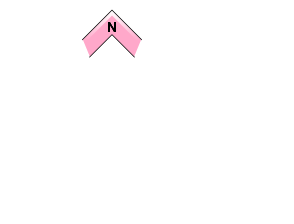

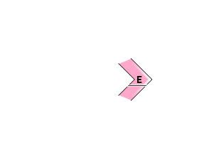
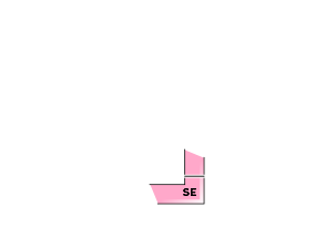



Beware of steep slopes
全層雪崩 Glide slab


Watch out for open cracks and cliff-like terrain.
概要
Avalanche
Yesterday (18th), there was a report of a wind slab (size 1.5) triggered on a steep slope in the below treeline, but no information at higher elevations.
Snowpack
The 30-40 cm snowpack on the crust that was buried on March 17 is gradually settling; at elevations below 800 m, the snowpack is weak due to the strong influence of rainfall and elevated temperatures. No vulnerability has been observed from the middle to lower layers of the snowpack.
Weather
As of 4:00 pm, the temperature at AMeDAS Fujiwara was 0.1°C, with 2 cm of new snowfall. The Japan Meteorological Agency is forecasting that it will be cloudy in the evening with snow in the foothills of northern Gunma Prefecture as a low pressure system moves east of Japan and is expected to be gradually covered by a high pressure system in the afternoon.

