
Avalanche Bulletin
更新日時: 2022/02/08 07:00
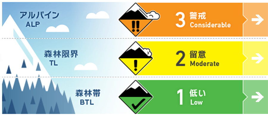
Niseko Yotei Yoichi Shiribeshi
Alpine Good ストームスラブと点発生乾雪雪崩は、特に沿岸区域の北部で観察されています。過去数日でさらに積雪が増えています。Storm slabs and loose dry activity will be found especially in the North of the range along the Sea of Japan coast where higher snow totals have accumulated over the previous few days.
Treeline Good 急斜面では、点発生乾雪雪崩がありうる状態、ストームスラブは誘発の可能性がまだ残っています。Steep terrain will produce loose dry activity and the possibility of storm slab remains.
Below Treeline Good 地形の罠に警戒し、適切な安全行動様式を使ってください。Manage your exposure to terrain traps and use proper safe travel techniques.
信頼度:○ good □ Fair △ Low
Travel and Terrain Advice
Since observation information at high elevations is scarce, uncertainty is high. When entering the mountain immediately after heavy snowfall, it is wise to choose a place with a gentle slope and act until you have enough information on the current condition. We look for the new avalanche that have occurred recently, and look for weak areas in stormy snow. With little in the way of observations at higher elevations, there are a lot of unknowns at present. If heading into the backcountry in areas that have received a huge volume of new snow starting your day o lower angled terrain to gain knowledge on conditions would be wise. Look for signs of recent avalanche activity and check the latest new snow for weakness with the storm snow.
Avalanche Problem
点発生乾雪雪崩 Dry Loose snow


大量降雪により、急峻な地形では点発生雪崩がおこりやすい状態といえます。このタイプの雪崩は、誘発した時点では小さくとも、長い急斜面であれば、流下する間に規模が大きくなりえます。With high volumes of new snow, we expect loose dry activity to occur in steep angled terrain. These avalanches can be started by a single person and grow in size as they build volume in their paths.
ストームスラブ Storm slab


日曜から100 cm以上の降雪がありました。このため、雪崩情報区域の北側エリアのアルパインでは、人的な刺激でのストームスラブの誘発がありえる状態です。With over 100cm of new snow accumulated between Sunday and now in the North of the range there is a possibility of Storm Slab activity to be triggered by the single-person load at higher elevations.
概要
Avalanche
No the new avalanche have been reported. Observation data can be sent directly to the Forecaster team. No new avalanche activity has been reported. You can contact the forecasting team with any observation at forecasters@nadare.jp
Snowpack
The amount of snowfall in the past few days has varied in the region. Snowfall is 100 cm or more in the northern area on the Sea of Japan side (such as Mt. Yoichi), but in the south area (Mt. Shiribetsu, etc.), it is about 40 cm. In the field, it is necessary to examine the instability within this fresh snow. In particular, pay attention to the soft slabs formed by moderate winds to the west. There is a large variation in new snow totals over the previous few days. In the North of the Range along the Sea of Japan Coast mountains like Mt Yoichi have Reveived over 100cm of new snow whilst Shirebetsu in the South has received closer to 40cm . With so much new snow we ecxpect instabilties within the latedt new snow that will need to investigated. Moderate winds form the west may have produced soft slab in exposed areas and loose dry Activity can be expected.
Weather
After the heavy snowfall on the coast of the Sea of Japan and Sapporo, the snowfall has begun to subside. Sunny weather is forecast for the second half of the week, and the wind is light to moderate westerly. After heavy snowfall along the Sea of Japan Coast and Sapporo coming to a standstill, it looks like the new snow totals will begin to taper with clear skies forecast later in the week. The winds will remain low to moderate from the West.


