
Avalanche Bulletin
更新日時: 2022/02/15 05:30
Hakuba
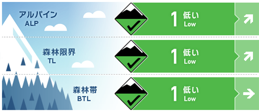
Alpine Fair 降雪の開始に留意
Treeline Good 降雪の開始に留意
Below Treeline Good
信頼度:○ good □ Fair △ Low
Travel and Terrain Advice
Pay attention to point-generated avalanches caused by weak cohesion snow remaining on shaded slopes. Even if the scale is small, it will be a serious ending if it is scooped underfoot and swept away to a place with a trap in the terrain. The wind has been weak since yesterday, but there are southwesterly winds coming in at the main ridge line, so please take that into consideration. The weather is clearly the direction of deterioration. Considering the current snowfall situation, the mountain will suddenly become a very difficult and dangerous avalanche condition when a consolidated snowfall begins. Think about going down the mountain with plenty of time.
Avalanche Problem
点発生乾雪雪崩 Dry Loose snow


概要
Avalanche
Yesterday (14th), a large number of point-generated avalanches were observed due to spontaneous or human-induced events. On the south side, melting frozen crusts and recrystallized old snow on the north side were used as sliding surfaces, resulting in avalanches of size 1-1.5 feet long.
Snowpack
Yesterday, the snow on the surface layer, which reacted sensitively in the morning, settled down in the evening on slopes with strong solar radiation, and melting and freezing crusts formed on the snow surface. On the other hand, on the shaded slopes, the snow on the surface layer was kept dry and weak in the afternoon, and it was an avalanche with a long downflow distance on the steep slopes. No vulnerabilities have been observed that would cause problems in the middle of the snow cover and below.
Weather
The Japan Meteorological Agency predicts southern winds, cloudy weather, snow or rain, and a maximum temperature of 8℃ (elevation 418m) from the afternoon to the northern part of Nagano prefecture. At the foot of Mt. Hakuba (elevation 703m), the temperature is -8.4℃ (as of 5:00), and there is no new snowfall in the past 12 hours.
