Avalanche Bulletin
更新日時: 2022/02/16 06:00
Myoko
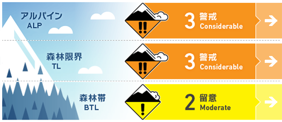
Alpine Low
Treeline Low
Below Treeline Fair
信頼度:○ good □ Fair △ Low

Travel and Terrain Advice
The main concern is in the vicinity of the surface layer of snow cover, so please investigate the amount of fresh snow and the state of the boundary surface with old snow while climbing. In places where solar radiation is strongly affected, there is a melting and freezing layer under fresh snow, so it may be easy to grasp the amount. If it is a place where the wind is strongly affected, you may be able to tell it from the hard snow surface hit by the wind. If there is no certainty about the situation, it is best to reduce the slope, avoid places that are prone to provoking (for example, convex terrain). The weather tends to deteriorate, so make an action plan that takes that into account.
Avalanche Problem
ストームスラブ Storm slab


概要
Avalanche
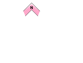
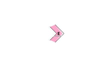
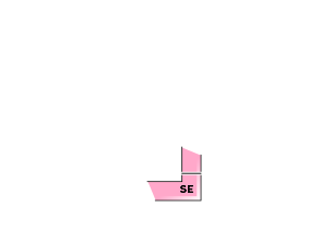
Yesterday (15th), a human-induced surface avalanche of size 1 was reported on the eastern slope at an altitude of 1,800 m. Also, full-layer avalanches of size 2 have been observed on the extremely steep southern slope.
Snowpack
Due to the rising temperature and rainfall yesterday, the snow surface at an altitude of about 1,000 m or less became wet or damp. Furthermore, at lower elevations, snow cover intensity decreases due to rainfall, and Glide avalanche have also been observed. After that, it has become a certain amount of snowfall at a place with a high elevation in the area close to the sea in the mountain area, but information is lacking, and future observations are necessary.
Weather
The Japan Meteorological Agency forecasts westerly winds, snow, and a maximum temperature of 4 degrees (elevation 13 m) for the Joetsu region of Niigata prefecture. At Myoko Kanzan (altitude 350 m), the temperature is -1.4℃ (as of 5:00), and there is no new snowfall in the past 12 hours. Snowfall of about 25 cm has been observed in the past 24 hours at an altitude of 1000m on the western side of the mountain area.

