
Avalanche Bulletin
更新日時: 2022/03/03 07:00
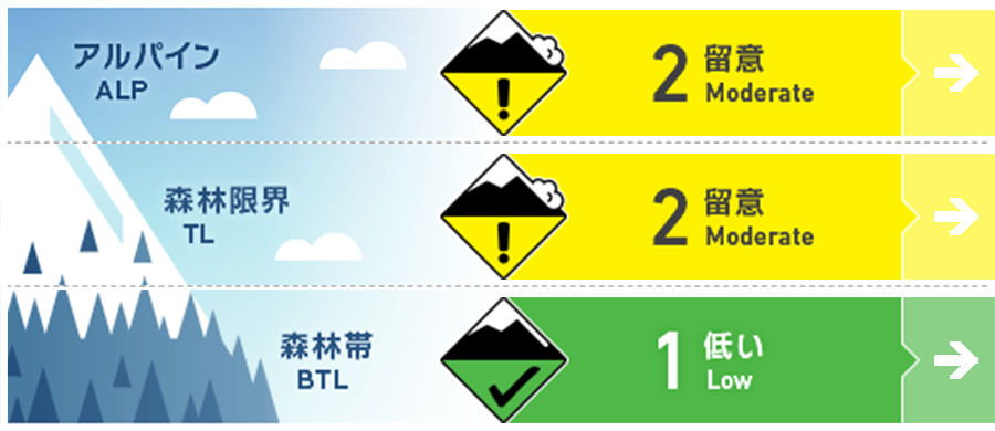
Niseko Yotei Yoichi Shiribeshi
Alpine Fair 稜線の風下に形成した局所のウインドスラブに注意Isolated pockets of wind slab on the lee of ridgelines.
Treeline Good 急な凸状地形に孤立して残る局所のウインドスラブに注意Pockets of wind slab may be found on knolls and steep, isolated terrain features
Below Treeline Good この数日の昇温でグライドクラックが成長していますGlide cracks continue to grow with the recent warm temperatures
信頼度:○ good □ Fair △ Low
Travel and Terrain Advice
Glide cracks continue to be at risk. It is necessary to control the run and manage the entire group well until all members have moved to the safe zone. Snow on the surface of the snow cover can change abruptly due to daytime warming or solar radiation. At high altitudes, dry snow also becomes heavy, and snow falls on trees also occur. On a sunny day, you should also pay attention to what is above you. Glide cracks will continue to be a hazard and will require skiing under control and Keeping everyone in the group accounted for while descending. Surface snow conditions can change quickly in the heat of the day and with elevation resulting in dry snow becoming very heavy suddenly. Blocks of firm snow and ice that have fallen from trees are littering the snow surface and Care must be taken to avoid them also watch for what is above you when stopping on sunny days.
Avalanche Problem
ウインドスラブ Wind slab


雪崩情報の発表地域の風向は、いつものように北西から西の風で、その風速も弱いから強いまで多様でした。しかし、風で移動される雪は、既に限定的になっているため、ウインドスラブの形成は限定的であると考えられます。風下斜面、特に30°を超える急斜面などの局所に孤立した形でウインドスラブが残る可能性あります。Winds speeds over the forecast area have ranged from light to strong in the Alpine and at Tree Line coming from the familiar WNW direction but with limited new snow available for transport new wind slab formation may be minimal. Continue to use caution on lee slopes, particularly steep slopes greater than 30 degrees, and the lee of knolls in consequential terrain, where isolated pockets of wind slab may remain.
概要
Avalanche
Neither spontaneous nor human-induced avalanches have been reported. No natural nor human-triggered avalanches have been reported.
Snowpack
It seems that spring has come to the region. The surface frost (the week of February 16), which formed before the last cohesive snowfall, still remains within the snow cover as a critical layer. Above its layer rests a well-sintered 60-80 cm slab, which has not shown any noticeable vulnerability in observations carried out near forest limits. It appears spring has begun to make it's self-known across the region. A buried weak layer (Surface Hoar) formed in the week of 16th of Feb prior to the last Significant snowfall and remains visible in the pack. Tests of this layer suggest that 60 to 80 cm of well-bonded snow is above this and is not reacting on the instability in areas where we have been able to gather information at treeline.
Weather
Until the next avalanche information is released, the low pressure will move from the west, and it is forecast to become winter-type by Saturday morning. It is said that the wind will gradually increase. As for today, there will be some snowfall by the evening, and there will be no snowfall tomorrow, and it is forecast that there will be sunshine. Over the forecast period, winds will be light to moderate with strong gusts from variable directions as a low-pressure system passes over from the West later today and the next Front moves into position by Saturday morning. Modest amounts of snow will fall from mid-morning to early evening today with little snowfall predicted for Friday and periods of sunshine forecast.


