
Avalanche Bulletin
更新日時: 2022/03/22 07:00
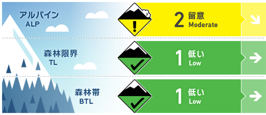
Niseko Yotei Yoichi Shiribeshi
Alpine Good 稜線付近の局所にウインドスラブが形成しています。Isolated pockets of wind slab may have formed around ridgeline.
Treeline Good
Below Treeline Good
信頼度:○ good □ Fair △ Low
Travel and Terrain Advice
The most recent snowfall hides the snow surface conditions of the old snow, so you can enjoy a variety of gliding sensations depending on the elevation. At elevations below the freezing altitude, fresh snow becomes heavier due to rising temperatures. Also, as a general spring precaution, be wary of snow bridges over valleys and rivers. This latest new snowfall may mask the condition of the previous snow surface creating Variable skiing and riding at different elevations. As freezing levels rise the lower elevations may become warm and heavy during the day. Regular spring travel precautions are required and be wary of snow bridges when crossing Creeks and rivers.
Avalanche Problem
点発生湿雪雪崩 Wet Loose snow


高い気温が続き、凍結高度は400 m以上まで上昇しますので、標高の低いところでは、濡れた雪による点発生雪崩の可能性が高まります。直近に降った雪も、この昇温のため、すぐに結合力を失うでしょう。とても急な斜面では点発生雪崩が観察できるかもしれません。Continued warm temperatures and a freezing level rising to above 400 meters will promote wet loose activity during the day at lower elevations. The latest new snow is likely to heat quickly and lose cohesion. We may see point release activity on steep terrain.
ウインドスラブ Wind slab


移動可能な新雪があり、強い西寄りの風が吹いていますので、標高の高いところでは小さいながらもウインドスラブが形成しています。このスラブは昇温などの影響を受けて硬く凍結した斜面に形成している可能性があります。東に面した斜面では、風で移動し、新しく形成したスラブを探してください。With new snow available to transport and strong winds from the west, we expect low volume slabs can be found at higher elevations. These slabs may have formed on a firm temperature affected previous snow surface. Look for any signs of fresh wind deposited snow across easterly aspects.
概要
Avalanche
There are no new avalanche observations reported. No new activity has been reported across the region.
Snowpack
It temporarily became winter weather, and stormy snow is placed on the snow surface affected by rising temperatures and solar radiation. In places where there was a lot of snow, it is necessary to check whether the bonding state of the interface between fresh and old snow is improving. There are no unstable elements in the old snow. A brief return to winter has seen the region receive a top-up on new snow that has fallen On a temperature and sun-affected previous sow surface. In areas of higher volume of accumulation, the bond between these layers may be overcoming and will need to be tested. The lower pack remains in a stable condition
Weather
At the beginning of the week, there was some snowfall and strong winds at high altitudes, but then it is forecast to be covered by high pressure, freezing altitude will rise, and winds will weaken. I can't expect a lot of fresh snow in the future. The Early Part of the Week has seen snow showers and strong winds at higher elevations, a The high-pressure system will begin to come into effect with freezing levels again rising and Wind speeds decreasing. We are not expecting much in the way of new snow accumulation over the coming days


