
雪崩情報
更新日時: 2022/03/26 07:00
ニセコ・羊蹄・余市・尻別
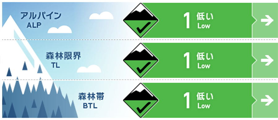
アルパイン Good 十分な積雪がある限り、すべての標高帯と方位で、濡れた雪の雪崩や全層雪崩の可能性はある、と考えることが必要です。The potential for wet loose and glide avalanches will remain for the rest of winter on all elevations and aspects as long as we have enough snow coverage to create a hazard.
森林限界 Good 十分な積雪がある限り、すべての標高帯と方位で、濡れた雪の雪崩や全層雪崩の可能性はある、と考えることが必要です。The potential for wet loose and glide avalanches will remain for the rest of winter on all elevations and aspects as long as we have enough snow coverage to create a hazard.
森林帯 Good 十分な積雪がある限り、すべての標高帯と方位で、濡れた雪の雪崩や全層雪崩の可能性はある、と考えることが必要です。The potential for wet loose and glide avalanches will remain for the rest of winter on all elevations and aspects as long as we have enough snow coverage to create a hazard.
信頼度:○ good □ Fair △ Low
行動と地形の助言
気温の上昇に伴い、雪面の状態は変化しやすくなります。気温の高い日は、大きな雪崩が発生しやすくなりますし、沢などに架かるスノーブリッジの強度も低下します。また、気温の上昇は野生動物への遭遇の可能性も高めていきますので、ご注意ください。本日で、今シーズンのニセコ・羊蹄山・余市岳・尻別岳エリアの雪崩情報は終了します。ご利用いただきまして、ありがとうございました。As we continue to see a rise in temperatures the snow surface conditions will become more variable. The risk of large heavy avalanches on warm days will increase whilst snow bridges over rivers and creeks will begin to weaken. Be mindful of local wildlife that you may also encounter as we move into the warmer months. Today marks the end of avalanche information in the Niseko / Yotei / Yoichi / Shiribetsu area for this season. Thank you very much for your visit.
留意すべき雪崩
全層雪崩 Glide slab


春の訪れと共に、標高の高いところでも降雨が多くなります。そうしますと、シーズン中に積もった雪すべてが崩れ落ちる全層雪崩の可能性が高まります。全層雪崩の発生予測はとても難しいのですが、ひとつはっきりしていることは、積雪底面が十分に濡れると危険が増すということです。グライドクラックが崩落し、全層雪崩が発生すると、その被害が大きなものとなる場合があります。As we continue into spring and begin to see more rain on snow events at all elevations the possibility of the full seasonal snowpack releasing will increase. The timing of glide avalanches is very hard to predict but what we do know is that when the base of the snowpack becomes lubricated the hazard increases. When glide cracks release the consequence is always high as we see a failure in the full seasonal snowpack.
点発生湿雪雪崩 Wet Loose snow
凍結高度の上昇に伴い、雪面の雪の強度が低下し、湿った雪による点発生雪崩の可能性が上がります。点発生雪崩は、一点から発生し、扇状に広がりながら流下します。流下する雪崩は、重く、水が流れるような方向へ動きます。雪面の雪が転がるスノーボールは、表層の雪の強度が低下していることを示す明瞭な兆候です。As the freezing level rises wet loose avalanche activity will increase across the region as the snow surface loses cohesion. Wet loose avalanches start from a singular point and fan out building mass as they flow downhill. Staying within their path they flow like a river and become heavy. Roller balling is often a clear indication that the surface is becoming weak.
概要
雪崩
新しい雪崩の発生報告はありません。No new activity has been reported.
積雪
積雪は、春シーズンによく見られるものとなっています。融解と凍結を繰り返すサイクルに入っており、今後、数週間はこの状態が続くでしょう。積雪内部の温度は、等温となり、濡れた状態となります。これにより、全層雪崩の可能性は高まっていきます。The snowpack is what is expected during spring. We are now in a melt-freeze cycle and this will continue in the coming weeks. The snowpack will become isothermal meaning the full seasonal coverage will heat and become wet. When this occurs the hazard of climatic full seasonal snow coverage avalanches will increase
天候
氷点下の気温と、適度な日射が繰り返される気象が今後、数週間は繰り返されることになるでしょう。また、春になりましたので、暖かい南風を伴った雨も、より頻繁に経験することになります。Rising freezing levels and broken sunshine will become more regular over the coming weeks. We can also expect to see rain on snow events as we continue into spring and southerly airflows become more dominant.


