
Avalanche Bulletin
更新日時: 2022/12/24 07:00
Niseko Yotei Yoichi Shiribeshi
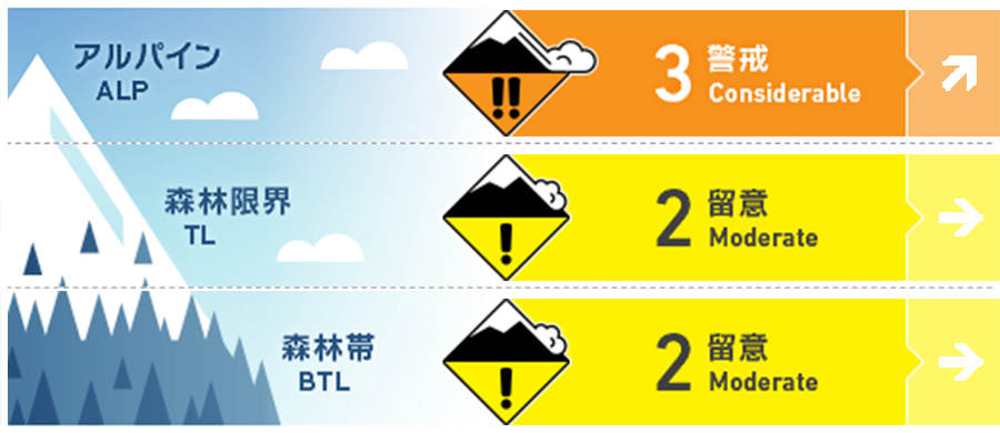
Alpine Fair Increased new snow totals and wind speeds will be creating slab on lee slopes.
Treeline Fair Test the new old snow interface to see how the latest new snow has bonded.
Below Treeline Fair Watch out for terrain traps and steep mico features al lower elevations.
信頼度:○ good □ Fair △ Low
Travel and Terrain Advice
An increase in wind speeds will reduce visibility over the weekend. Although the snow coverage continues to grow buried hazards remain a concern alongside weak snow bridges over creeks at lower elevations.
Avalanche Problem
ストームスラブ Storm slab





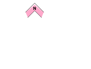

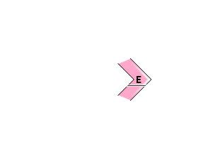
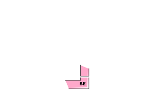
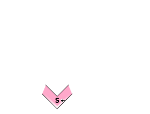
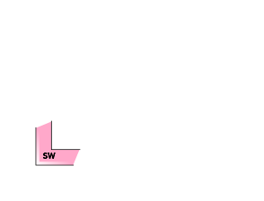


Up to 30cm of new snow had fallen across the region after the latest rain event. This latest new snow has come in heavy at lower elevations but becomes light in alpine. Testing on the new old snow interface has resulted in stubborn results however snowfall will continue in the coming days and testing of instabilities within this latest new snowfall is required.
ウインドスラブ Wind slab


With increased wind speeds gusting to gale during Saturday alongside readily available new snow to transport we expect the formation of new wind slabs at higher levation lee to the northerly winds. Look for signs of any new activity or obvious clues and be wary of the formation of new cornice.
概要
Avalanche
No new activity has been reported across the area.
Snowpack
Up to 40cm of new snow has fallen after a period of rain during the mid-week. This latest new snow has fallen on a warmed surface and appears the have bonded although limited observations have been made. An increase in wind speeds has transported new load onto lee slopes at higher elvations.
Weather
A low-pressure system continues to sit off the east coast of Hokkaido bringing a northerly flow. We expected to see continued snowfall throughout the day and winds gusting to gale force at higher elevations. The freezing level will remain below 300m.

