
Avalanche Bulletin
更新日時: 2023/01/03 05:30
Hakuba
Alpine Fair
Treeline Fair
Below Treeline Fair
信頼度:○ good □ Fair △ Low
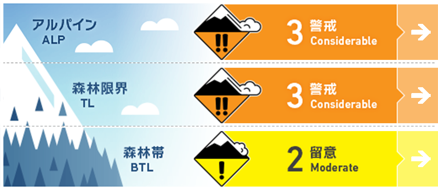
Travel and Terrain Advice
Danger is higher north of Hakuba Valley where snowfall was heavy. Be sensitive to changes in the snow surface and avoid areas where wind slab formation is suspected. In the forest, the snowpack is still shallow and many dangerous "terrain traps" are still present. Please ski in groups, maintaining good communication with your companions. Once again, snowfall is forecast to intensify. Plan your activities with this in mind.
Avalanche Problem
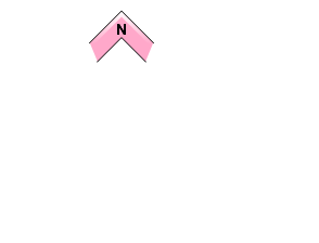
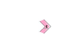
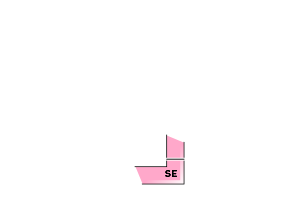
ウインドスラブ Wind slab


High danger on the north side of Hakuba valley.
ストームスラブ Storm slab








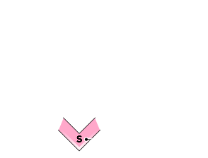
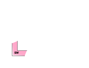

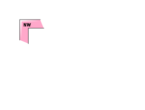


High danger on the north side of Hakuba valley.
概要
Avalanche
Yesterday (January 2), a human-triggered size 1 loose snow avalanche of size 1 was observed on a very steep slope below treeline. However, the response of the snowpack varied from place to place.
Snowpack
The storm snowfall that began on the evening of January 1 is 30-50 cm in the upper treeline. Overall, more snow is being observed in the northern part of the Hakuba Valley. From the treeline to the top, wind slabs are forming due to the strong northwesterly winds. In the forests unaffected by the wind, there is soft snow, but the bushes are still very thick. The interface between new and old snow is of concern, but no significant instability has been observed at this time. However, on the slopes that are wide open to the south, a hard bed surface has formed that is good for avalanches, so we need to assume that the danger level will increase as the snowfall increases in the future.
Weather
The Japan Meteorological Agency is forecasting northerly winds, cloudy skies, snow in the evening, and a maximum temperature of 3°C (418 m elevation) for northern Nagano Prefecture. At the foot of Mt. Hakuba (elevation 703m), the temperature is -4.9°C (as of 5:00). Snowfall will continue, with 35 cm of snowfall expected by 6:00 tomorrow.


