
Avalanche Bulletin
更新日時: 2023/01/03 07:00
Niseko Yotei Yoichi Shiribeshi
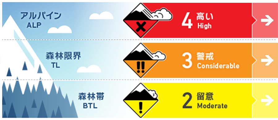
Alpine Fair Heavy snowfall and strong winds have loaded leeward slopes
Treeline Good Heavy snowfall and moderate to strong winds have loaded leeward slopes
Below Treeline Good Heavy snow has created storm slab
信頼度:○ good □ Fair △ Low
Travel and Terrain Advice
Heavy snowfall across the region has added significant load to the snowpack and needs time to bond. Use extra caution, avoid wind loaded features and dial back your terrain choices while the natural avalanche cycle occurs. With the windchill, alpine and treelines temps will be very cold so bring extra layers and stay warm. Beware of deep snow and snow immersion hazards.
Avalanche Problem
ウインドスラブ Wind slab



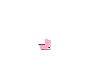


Heavy snow and moderate winds have loaded features lee to the WNW wind
ストームスラブ Storm slab


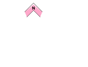

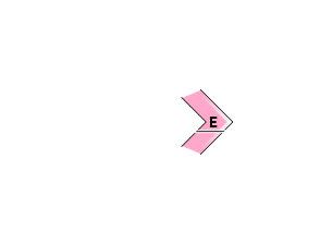
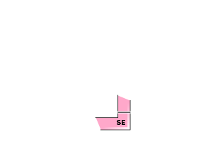
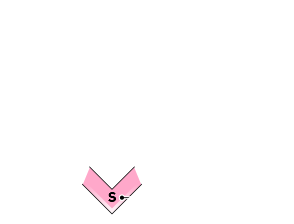
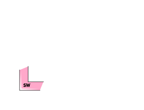

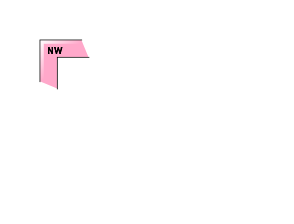


Look for slab formation and monitor reactive layers within the storm snow.
概要
Avalanche
Size 2 natural avalanche reported on an East aspect of Shiribetsu at 800m on Jan. 2. Failure plane was a rain crust / facet layer beneath the storm snow with crown depth varying from 50cms to 1 meter. Size 1 windslab activity was reported across the region on Jan. 2 in specific terrain features lee to the NW wind.
Snowpack
30-60cms of storm snow (more at upper elevations) has fallen since the storm started on Jan. 1st. This overlies 5-10cms of consolidating 4F snow which sits on a hard melt freeze at lower elevations and wind scoured surfaces at upper elevations. The storm snow is bonding to the crust but may still be reactive to heavy triggers in isolated terrain features.
Weather
A steady NW flow continues this week blanketing the region in snow and cool temps through the forecast period. Expect continued snowfall and moderate to strong WNW winds through the day today and tomorrow before the wind and snow ease of Wednesday evening. Temps will be cool throughout this period.


