
Avalanche Bulletin
更新日時: 2023/01/21 06:00
Niseko Yotei Yoichi Shiribeshi
Alpine Fair New snow and strong winds have added load to lee features in the alpine zone.
Treeline Fair New snow has added load to the treeline zone.
Below Treeline Good New snow has added load to the BTL zone.
信頼度:○ good □ Fair △ Low
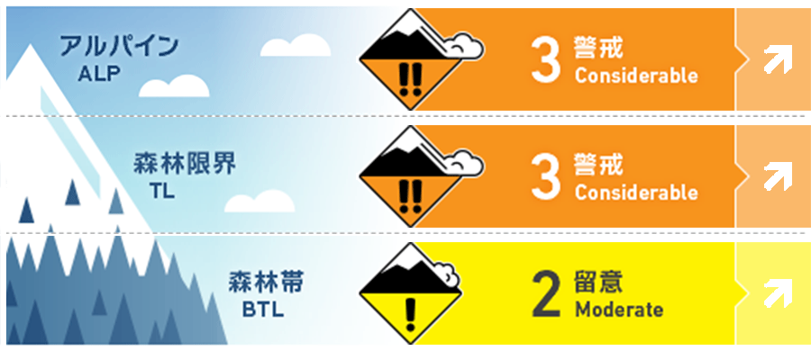
Travel and Terrain Advice
The new snow will need time to bond to the old snow surface and the January 17th crust may become reactive with the added load from the current storm. Manage terrain carefully and avoid large slopes where the consequences of a larger avalanche stepping down to the crust are increased. Beware of tree bombs lurking under the snow surface.
Avalanche Problem
ウインドスラブ Wind slab


Strong winds have re-distributed the new snow to leeward features forming windslab in the alpine and at treeline
ストームスラブ Storm slab


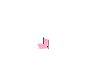


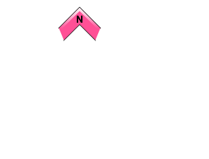


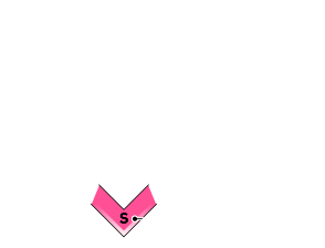


The new snow will need time to bond to the old surfaces.
点発生乾雪雪崩 Dry Loose snow



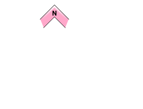

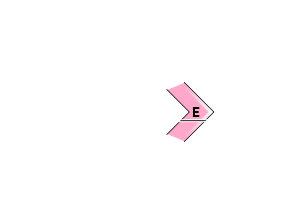
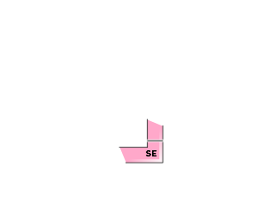
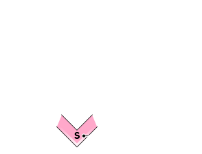


Loose dry avalanches can be expected on steep terrain today. Avoid skiing above terrain traps where the consequences of a small avalanche are increased.
概要
Avalanche
Skier accidental Size 1.5 windslab reported on Iwaonupurri NE slope at 1000m on Jan. 20. Skier accidental size 1 windslab reported in the backcountry near Sapporo kokusai North aspect at 1050m on Jan. 20.
Snowpack
10-30cms of new snow arrived in the region Friday night adding load to the storm snow received earlier in the week. The previous storm snow has settled and is bonding to the crust which is now 40-60cms below the surface however this interface may become reactive with the added load. The lower pack is well settled.
Weather
Steady snowfall is expected to continue through the weekend and into next week. Strong winds are expected today before easing off later this evening as the storm settles in. Temps are expected to remain cool for the next several days with a high of approximately -12 at 1000m each of the next 3 days.

