
Avalanche Bulletin
更新日時: 2023/01/31 07:00
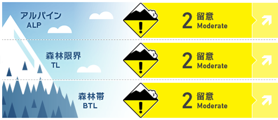
Niseko Yotei Yoichi Shiribeshi
Alpine Fair Drifting snow will be deeper in the alpine terrain and this could lead to possible wind slabs on steeper slopes
Treeline Fair Expect pockets of new wind slabs to have formed lee and cross-loaded features.
Below Treeline Good Good skiing in the sheltered lower angled slopes trees.
信頼度:○ good □ Fair △ Low
Travel and Terrain Advice
Mountain winds follow terrain features. If you encounter stiff new wind deposited snow and cracking, back off of steeper terrain and ski lower angled slopes in the trees. Glide cracks are opening and cornices are big. Be extra cautious riding when visibility becomes difficult. It is smart to ride with partners and talk about your plans before you enter avalanche terrain.
Avalanche Problem
ウインドスラブ Wind slab


WNW wind will increase this afternoon. Watch out for pockets of new formed wind slabs
ストームスラブ Storm slab


High rates of new snow this morning and more snow in the forecast has increased the possibility of storm slabs being triggered on slopes >35 degrees
点発生乾雪雪崩 Dry Loose snow


Caution Slopes >38 degrees with terrain traps below.
概要
Avalanche
Size 1-2 skier triggered wind slabs avalanches have been reported over the last several days. They have become less reactive with time. With new snow and increased winds over night and in the forecast for today new wind slabs are expected on leeward and cross-loaded features.
Snowpack
Up to 50cm light new snow fell this early morning in the Niseko town. Snow fall rates increased overnight adding more light density snow. Variable surface conditions in the alpine with wind scoured and wind drifted snow. The lower snow pack has continued to settle and gain strength with time. More sun and little snow fell in the Shiribetsu area over the last several days. The temperature crust is buried shallow in some places and deep in others.
Weather
Light to moderate snow are forecasted through out the day. West ridge top winds are forecasted to increasing moderate in the afternoon. Stronger winds expected Yoichi area. Temperatures will remain well below freezing today. Winds shift to SE tonight with a slight warming trend and possible broken skies tomorrow before a more stormy weather pattern returns later in the week.


