
Avalanche Bulletin
更新日時: 2023/02/02 07:00
Niseko Yotei Yoichi Shiribeshi
Alpine Fair
Treeline Fair
Below Treeline Good
信頼度:○ good □ Fair △ Low
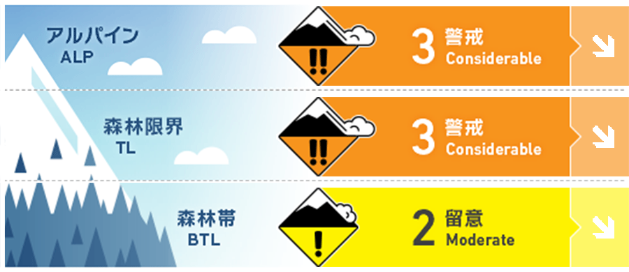
Travel and Terrain Advice
After 2 weeks of steady snowfall its important avoid complacency and remain vigilant evaluating the storm instabilities. In general the snowpack is right side up however there are now some notable weak layers buried by ~50cms of storm snow which may be reactive to skier traffic. In particular as the weather improves tomorrow and the opportunity to get higher into the alpine presents itself, evaluate slopes carefully before stepping into steep, open terrain.
Avalanche Problem
ウインドスラブ Wind slab





Moderate to strong overnight WNW winds have re-distributed the overnight snowfall onto leeward slopes forming windslab just below ridge crest.
ストームスラブ Storm slab


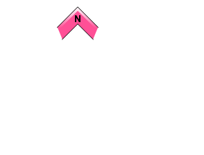

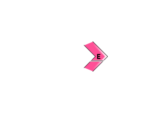
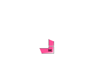






20-40cms of new snow has arrived across the region and will need time to bond to the previous surfaces.
概要
Avalanche
Reactive ski cuts were reported on steep slopes yesterday with storm slab failing 30cms below the surface on a layer of buried stellars.
Snowpack
20-40cms of new snow arrived in the region overnight after a short break between storms. The snowpack below is right side up with storm snow increasing in density down to the Jan. 18 Melt freeze crust which is now buried 80-150cms deep. There is a notable layer of preserved precipitation particles down 50cms which has been reactive on steep slopes. Buried surface hoar has also been observed on protected North aspects in some parts of the region and is also ~50cms deep.
Weather
A low pressure system is moving away to the NE of Hokkaido drawing in a NW flow. As the system moves away, winds will ease off and be replaced by calmer weather. Steady snowfall will continue today with moderate to strong WNW winds and a high of -6C in the valley. Tomorrow will bring continued light snowfall, light WNW wind and similar temperatures.

