Avalanche Bulletin
更新日時: 2023/02/13 04:00
Kagura Tanigawa Hotaka
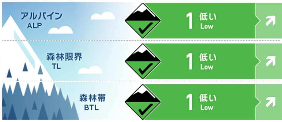
Alpine Fair Watch for more snowfall in the future.
Treeline Good Watch for more snowfall in the future.
Below Treeline Good Watch for future rainfall or snowfall effects.
信頼度:○ good □ Fair △ Low

Travel and Terrain Advice
The forecast is for a south coast low-pressure system. Watch for the formation of new storm slabs from the upcoming snowfall in the higher elevations. Be careful of triggering sudden changes in slopes just below ridgelines and branch ridges, as well as on extremely steep slopes with few trees. Rain is forecast in the lower elevations. If snowballs begin to roll on steep slopes, it is a sign that the snowpack is losing strength. Watch for the possibility of wet loose snow avalanches from large steep slopes.
Avalanche Problem
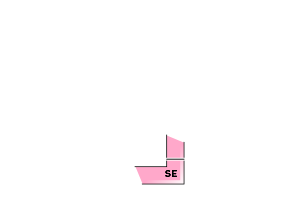
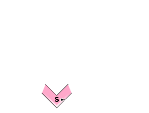
点発生湿雪雪崩 Wet Loose snow


Watch for rainfall and elevated temperatures
概要
Avalanche
Several small loose snow avalanches were observed yesterday on extremely steep southerly slopes.
Snowpack
Past stormy snowpack is settling and bonding due to yesterday's warming temperatures and solar radiation. Southerly slopes below 1800m elevation are expected to form crusts on the surface due to the change from moist to wet. On the southerly slopes, faceted snow has been observed on the crusts that were buried by the recent stormy weather, and we will keep an eye on the bonding situation in the future.
Weather
As of 4:00 pm, there has been no snowfall in the past 24 hours at AMeDAS Fujiwara. The Japan Meteorological Agency is forecasting cloudy, occasional rain or snow in the foothills of northern Gunma Prefecture due to a low pressure system and moist air expected to move east-northeastward over southern Japan and east of Kanto.

