
Avalanche Bulletin
更新日時: 2023/02/13 06:00
Myoko
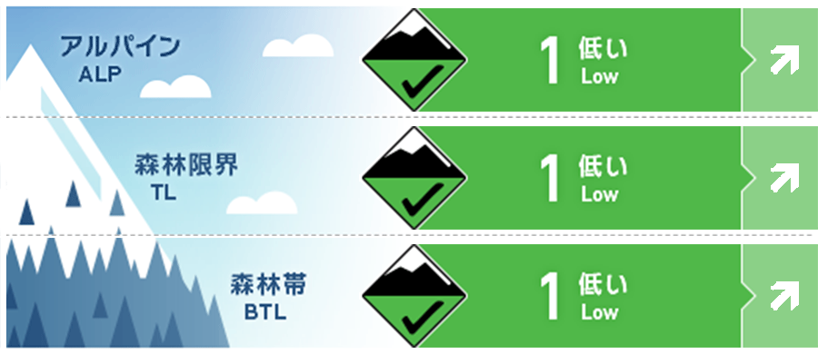
Alpine Fair Watch for future snowfall. Danger level is as of morning.
Treeline Fair Watch for future snowfall. Danger level is as of morning.
Below Treeline Good Watch for snowfall or rainfall in the future. Danger level is as of morning.
信頼度:○ good □ Fair △ Low
Travel and Terrain Advice
Although the avalanche danger level is low at the time the avalanche bulletin is issued, this is a day when the danger level will increase due to future weather phenomena. Please pay close attention to the nature and changes in weather in the field. As a general theory a few hours of intense snowfall (3 cm/hr), plus winds (8-11 m) that are enough to shake a few trees, may have to build a potential snowpack on lee side slopes that could bury a person. By paying attention to weather phenomena, it is possible to infer slopes of increased danger, so please select slopes with a high degree of safety. The weather is clearly worsening. Please plan your activities with this in mind. Inexperienced or unskilled skiers are advised to ski within the ski area, as the snow conditions are poor in many areas due to solar radiation and high temperatures.
Avalanche Problem
ストームスラブ Storm slab














Watch for more snowfall in the future.
全層雪崩 Glide slab
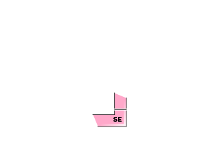




If it rains in the future, be more vigilant.
概要
Avalanche
Yesterday (February 12), several size 1 wet loose snow avalanches were observed on a lower elevation, sunny slopes.
Snowpack
The instability of the storm instability appears to be dissipating, except in some very high-elevation areas. On the lower elevation slopes, where the effects of sunny slopes and higher temperatures are stronger, the upper layers of snowpack are sufficiently wet and crusts are forming. Today, the instability of the snowpack will vary greatly depending on whether it will rain or snow in the coming days.
Weather
The Japan Meteorological Agency is forecasting northerly winds, rain or snow, and a maximum temperature of 7°C (13 m elevation) for the Joetsu region of Niigata Prefecture. At Myoko Sasagamine (elevation 1,310 m), the temperature is -1° (as of 5:45 a.m.).

