
Avalanche Bulletin
更新日時: 2023/02/14 05:30
Hakuba
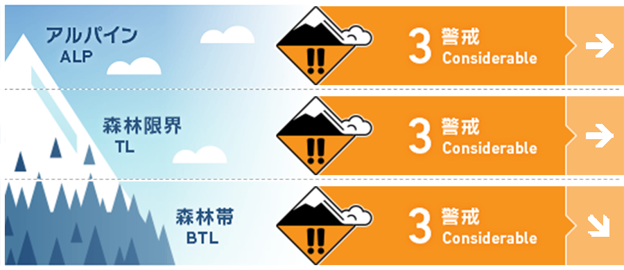
Alpine Fair
Treeline Fair
Below Treeline Fair Hazard level is based on the northern area where there is a lot of new snow. The southern district is "2 Moderate."
信頼度:○ good □ Fair △ Low
Travel and Terrain Advice
There is a danger of newly formed storm slabs. Please check the bonding strength of the interface between the new and old snow. The old snow is contaminated with yellow sand and will be a good marker for future snowpack observers in the mountains. Hasty snowpack observations made at different elevations and aspects are the first step in understanding the spatial variability of mountain snowpacks. It also helps to better understand the avalanche bulletin. Look for safer and more enjoyable lines, avoiding convex or isolated terrain where the snowpack can become unstable. It is important to stop in safe areas and ski one at a time.
Avalanche Problem
ストームスラブ Storm slab









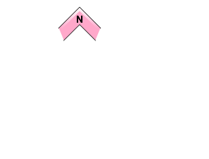

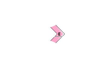
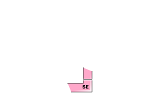






Be more vigilant in northern areas with heavy snowfall. Check the strength of the boundary between new snow and old snow.
概要
Avalanche
No new avalanches were observed yesterday (February 13), partly due to poor visibility.
Snowpack
Below Treeline and Treeline, the new snow from yesterday is on top of the snow surface, which is well wet from the solar radiation and high temperatures, and dirty from the yellow sand. However, in the northern part of the valley, new snow is still on the moist snow surface. Snowfall amounts are heavy in the northern part of the Hakuba Valley (20-25 cm) and light in the southern part. This new snow is influenced by the northerly winds.
Weather
The Japan Meteorological Agency is forecasting northerly winds, cloudy skies, morning and evening snow, and a maximum temperature of 3°C (418 m elevation) for northern Nagano Prefecture. At AmeDAS Hakuba (elevation 703 m), the temperature is -3.1°C (as of 5:00 am), with 3 cm of snow has fallen in the past 12 hours. At AMeDAS Otari (elevation 550 m), 20 cm of snow has fallen in the past 12 hours.


