
Avalanche Bulletin
更新日時: 2023/02/18 05:30
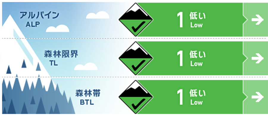
Hakuba
Alpine Good Note the start of snowfall
Treeline Good Note the start of snowfall
Below Treeline Good Note the onset of snowfall or rainfall
信頼度:○ good □ Fair △ Low
Travel and Terrain Advice
At very high elevations, watch out for wind slabs left by extreme terrain formations. The wind and solar radiation are making many areas slippery, so action is needed to avoid falls and slips. A low-pressure system is approaching and the weather will slowly deteriorate. Rainfall may occur at lower elevations, so plan your activities with this in mind.
Avalanche Problem
ウインドスラブ Wind slab


Unstable snow remaining on extreme terrain shapes
概要
Avalanche
Yesterday (February 17), a size 1 wind slab avalanche was reported on the southeast slope at the northern end of the Hakuba Valley, near 1,800 m elevation.
Snowpack
Snow from previous stormy weather (February 13-15 morning) has settled sufficiently to increase its strength. Older, harder Melt-Freeze crusts are exposed on wind-affected slopes, and dense snow is accumulating in the gullies. On the south-facing slopes, where the influence of sunny slopes is stronger, crusts have formed and are slippery, while the snow on the north side is still in a dry condition.
Weather
The Japan Meteorological Agency is forecasting northerly winds, later southerly winds, cloudy, rain in the evening, and a high of 10°C (418 m elevation) for northern Nagano Prefecture. At AMeDAS Hakuba (elevation 703 m), the temperature is -6.1°C (as of 5:00 am), with no new snowfall in the past 12 hours.
