
Avalanche Bulletin
更新日時: 2023/02/18 06:00
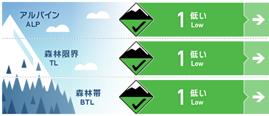
Myoko
Alpine Good
Treeline Good
Below Treeline Good Keep in mind high daytime temperatures
信頼度:○ good □ Fair △ Low
Travel and Terrain Advice
At very high elevations, watch out for wind slabs left by extreme terrain formations. The wind and solar radiation are making many areas slippery, so action is needed to avoid falls and slips. A low-pressure system is approaching and the weather will slowly deteriorate. Rainfall may occur at lower elevations, so plan your activities with this in mind.
Avalanche Problem
ウインドスラブ Wind slab


Unstable snow remaining on extreme terrain
概要
Avalanche
No new avalanches were reported yesterday (February 17) in the avalanche bulletin area. However, a size 1 wind slab avalanche was reported at the adjacent southwest area treeline.
Snowpack
It has been observed that the snow from previous stormy weather (February 13-16 morning) has settled sufficiently to increase in intensity. At higher elevations, the snowpack is influenced by strong westerly winds. On the south-facing slopes, where the influence of sunny slopes is stronger, crusts are forming and making it difficult to ski. On the other hand, there is still dry snow on the north side.
Weather
The Japan Meteorological Agency is forecasting winds from the south, westerly winds during the day, clear, then cloudy, rain in the evening, and a maximum temperature of 11°C (13 m above sea level) for the Joetsu region of Niigata Prefecture. At Sasagamine, Myoko (elevation 1,310 m), the temperature is -3° (as of 5:45 a.m.).