Avalanche Bulletin
更新日時: 2024/01/04 07:00
Niseko Yotei Yoichi Shiribeshi
Alpine Fair There may be windslab present in alpine zones.
Treeline Fair Warming temperatures and solar input on solar aspects will make the upper snowpack wet and heavy and increase the risk at tree-line
Below Treeline Fair Warm temperatures to cause the upper snowpack to become wet and heavy and increase the risk.
信頼度:○ good □ Fair △ Low

Travel and Terrain Advice
Today will be clear and sunny and another great day to be in the mountains. Watch for increase in temperature and changes you notice in the snow. Creek exits for backcountry have very steep terrain into open water and should be met with great caution. Early season hazards. Have an alternate route planned to navigate early season conditions.
Avalanche Problem
ウインドスラブ Wind slab


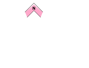

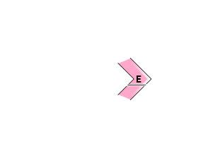
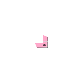


winds have been light recently, however there could still be wind slab present especially in the alpine and tree-line and still need to be with caution.
点発生湿雪雪崩 Wet Loose snow





warm temperatures are forecasted for today and tomorrow and will increase the risk for wet loose avalanches.
概要
Avalanche
There have been observation of avalanches still mostly in the form of windslab. However wet loose snow from possible warm temperatures will be a concern especially at lower elevations.
Snowpack
The snowpack is becoming more stable, however there is still an instability in new snow/old snow interface and if the new soft snow becomes warm it will get heavy and not bond well to the snow below.
Weather
todays weather is forecasted to be clear and warm with freezing levels at 400m possible followed by a cold night and then precipitation in the form of snow or rain on Friday. Winds mostly north/northwest flow today light with moderate gusts, switching to more southerly flow friday and becoming stronger.

