
Avalanche Bulletin
更新日時: 2024/01/11 05:30
Hakuba
Alpine Fair
Treeline Fair
Below Treeline Fair
信頼度:○ good □ Fair △ Low
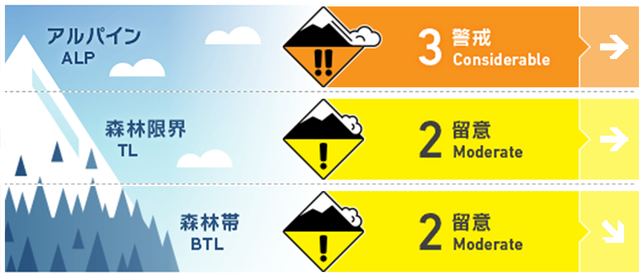
Travel and Terrain Advice
From yesterday's snowfall to this morning, the wind has been relatively light. This makes this a day with different and less noticeable hazards than a day with clear wind slabs forming. Avoid large convexities, terrains of extreme shape, or slopes of a shape that will not support a snowpack. Also, beware of "terrain traps" where even a small avalanche can have deadly consequences. Streams in the forest are not yet well filled. Please use careful route setting.
Avalanche Problem
ストームスラブ Storm slab


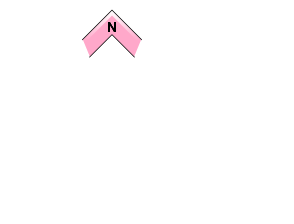

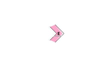
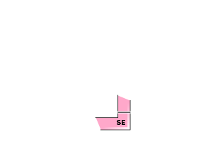










A northerly wind of about 10 m/s is blowing on the main ridge. The wind direction has changed to the north since midnight last night, so watch out for the formation of soft slabs.
概要
Avalanche
Yesterday (January 10), several size 1 dry loose snow avalanches were observed in the upper part of below tree line. The trigger for these avalanches was a ski cut, size 1.
Snowpack
With the passage of the pressure trough, snowfall that began early in the morning of the 10th brought 20-30 cm of new snow near the treeline. This new snow has low cohesion and ski cuts have caused loose snow avalanches. These new snowfalls are on top of Melt-Freeze crusts on the south face. The previous storm snow (Jan. 6 night to Jan. 8 noon) is slowly stabilizing, but has not yet densified enough to be a very deep dive when skis and snowboards are taken off.
Weather
A low pressure system is expected to move east of Japan and will be gradually covered by a high pressure system. The Japan Meteorological Agency is forecasting northerly winds, cloudy, sunny from midday, and a daytime high of 4 °C (418 m elevation) for northern Nagano Prefecture. The temperature at Hakuba (elevation 703 m) is -7.4 °C (as of 5:00 a.m.).


