
Avalanche Bulletin
更新日時: 2024/01/18 07:00
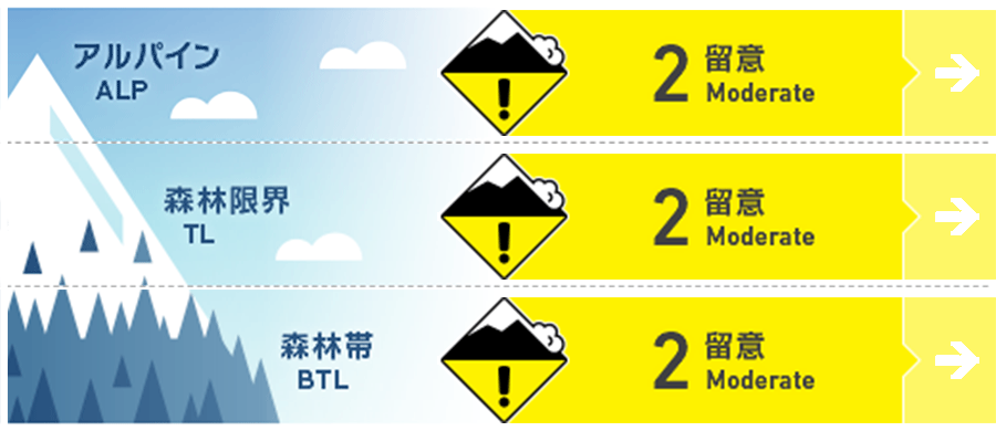
Niseko Yotei Yoichi Shiribeshi
Alpine Low
Treeline Fair
Below Treeline Good Hazard will increase with day time warming today.
信頼度:○ good □ Fair △ Low
Travel and Terrain Advice
Rising temps today may cause the storm slab to wake up and become reactive particularly at lower elevations or aspects exposed to the sun. Look for windslab on the snow surface as well as buried within the storm snow. The next report will be published Saturday morning at 7am.
Avalanche Problem
ウインドスラブ Wind slab


NW winds have re-distributed snow to Easterly aspects
ストームスラブ Storm slab


Storm slab hazard will increase with day time warming and solar input.
概要
Avalanche
A size 2 natural avalanche was reported at 800m on an East aspect of Shiribetsu. It was observed after the event and likely ran early Tuesday morning during the heavy storm event.
Snowpack
The storm snow has settled to ~40cms over the past 48 hours. This new snow is bonding well to the old snow surface. The lower snowpack is well settled with no notable instabilities.
Weather
A low pressure system moves away to the East of Hokkaido drawing in a weak northerly flow. Temperatures will rise through the day with the freezing level reaching 200m around mid day. A mix of sun and cloud is expected today with a chance of some light precip overnight tonight. Tomorrow will bring similar weather but cooler temps. Light North winds are expected both today and tomorrow.


