
Avalanche Bulletin
更新日時: 2024/01/28 04:00
Kagura Tanigawa Hotaka
Alpine Low No observational data
Treeline Fair New snowfall amounts unknown
Below Treeline Fair New snowfall amounts unknown
信頼度:○ good □ Fair △ Low
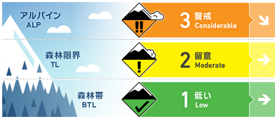
Travel and Terrain Advice
Snow movement caused by very strong winds from the west and northwest has resulted in the formation of wind slabs on steep downwind slopes. Watch for bonding wind slabs at higher elevations where bonding is less likely to proceed. Also note the presence of storm slabs on steep slopes due to new snowfall. Watch for avalanches from large start zones overhead, even if you are on a lower slope in a below treeline. Even if the size of the avalanche is small, there are exposed "terrain traps" such as deep gullies, cliffs, rocks, and standing timber that can increase the damage. Be careful of falling into gully and stepping through snow cover.
Avalanche Problem
ウインドスラブ Wind slab


Be careful of steep slopes on the ridge and just below the branch ridge.
ストームスラブ Storm slab






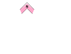

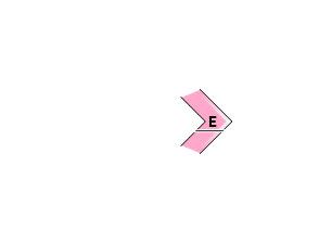
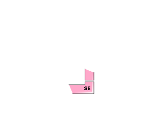


急斜面に注意
概要
Avalanche
No new avalanche bulletin observed yesterday (27th), but limited information due to high winds and poor visibility
Snowpack
Snow accumulation from past heavy snowfall has been moved by very strong winds from the west and northwest, forming wind slabs on the ridge and just below the ridge. At higher elevations, 20-30 cm of new snowfall is expected due to the snowfall since yesterday. No vulnerability within the old snow has been reported.
Weather
As of 4:00, the temperature at AMeDAS Fujiwara is -2°C. There has been about 5 cm of snowfall in the surrounding area, and it continues to be weak. The Japan Meteorological Agency is forecasting cloudy skies at the foot of the mountains in northern Gunma Prefecture with sunny skies in the morning and evening, and snow showers in the evening and early evening, due to a high-pressure system.

