Avalanche Bulletin
更新日時: 2024/02/02 06:00
Kagura Tanigawa Hotaka
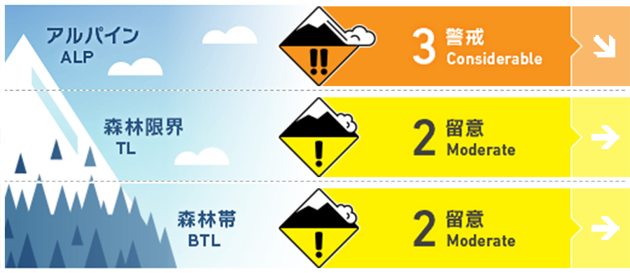
Alpine Low High snowfall expected, but no information available. Watch for bonding of wind slabs.
Treeline Low Note bonding of wind slab.
Below Treeline Fair Beware of wind slabs in areas with few trees and susceptible to wind
信頼度:○ good □ Fair △ Low

Travel and Terrain Advice
Watch out for wind slabs that exist on steep slopes just below the ridge and branch ridges. Do not induce newly formed windslabs as they are not yet bonding. Be aware that wind slabs increase in size at higher elevations where snowfall increases, winds are more susceptible, and bonding is less likely to progress. There are exposed "terrain traps" such as deep streams, cliffs, rocks, and standing timber that can increase damage even if the size of the avalanche that occurs is small. Be careful of falling into gully and stepping through snow cover.
Avalanche Problem
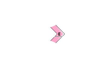
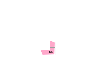
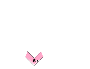
ウインドスラブ Wind slab


More caution is needed at higher elevations where there is more snowfall and bonding is less likely to progress.
概要
Avalanche
No new avalanches observed yesterday (1st)
Snowpack
Yesterday's rainfall affected approximately less than 1000m. The snow surface melted-Freeze and then froze. New snowfall was deposited on top of the snow, and the snow was moved by strong winds from the west to the northwest, forming wind slabs along the ridge and just below the ridges, and blowing away to expose crusts in wind-swept areas. No vulnerability within the old snow has been reported.
Weather
As of 5:00, the temperature at AMeDAS Fujiwara was -5.3℃. Around the area, about 10 cm of snow fell in 24 hours. The Japan Meteorological Agency is forecasting clear and sometimes cloudy skies in the foothills of northern Gunma Prefecture due to the influence of a pressure trough and moist air, although high pressure will cover the area.

