
Avalanche Bulletin
更新日時: 2024/02/05 05:30
Hakuba
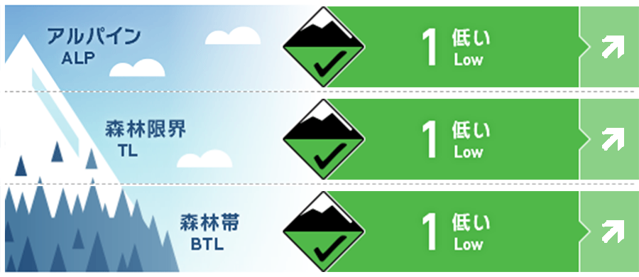
Alpine Fair Note the start of snowfall
Treeline Good Note the start of snowfall
Below Treeline Good Note the start of snowfall
信頼度:○ good □ Fair △ Low
Travel and Terrain Advice
Avalanche danger conditions are low at this time. As with the previous day, watch out for unstable slabs on extremely shaped terrain. Also be on the lookout for "terrain traps" below them. Later in the day, snowfall associated with the passage of a low pressure system off the south coast is forecast. Pay close attention to the onset of snowfall and its intensity. Snow cover remains low at lower elevations. Be alert for hazardous elements other than avalanches (e.g., holes in stream bottoms).
Avalanche Problem
ウインドスラブ Wind slab


Watch for slabs forming in terrain pockets of extreme shape. On the main ridge, winds have been west to southwest with a maximum of less than 10 m/s for the past 12 hours.
概要
Avalanche
No new avalanches were observed yesterday (4th).
Snowpack
A hard Melt-Freeze layer is exposed on the ridges where the wind hits, and dry snow is accumulating in areas not affected by the wind. Since yesterday, wind conditions have remained light on the main ridge as well, and old wind slabs remain in terrain stations.
Weather
Today, a low pressure system is expected to move east-northeast over the southern coast of Honshu. The Japan Meteorological Agency is forecasting northerly winds, later southerly winds, cloudy skies, snow before noon, and a daytime high of 1 °C for northern Nagano Prefecture. At 703 m elevation, the temperature is -4.6 °C (as of 5:00), with no new snowfall in the past 12 hours. Yesterday, the alpine skies were clear again, but clouds were gathering at elevations as high as 2,000 m, creating a sea of clouds over the Hakuba Valley.
