
Avalanche Bulletin
更新日時: 2024/02/28 04:00
Kagura Tanigawa Hotaka
Alpine Low Snowfall and wind effects unknown
Treeline Fair Little information on snowfall and wind effects
Below Treeline Fair Not much information.
信頼度:○ good □ Fair △ Low
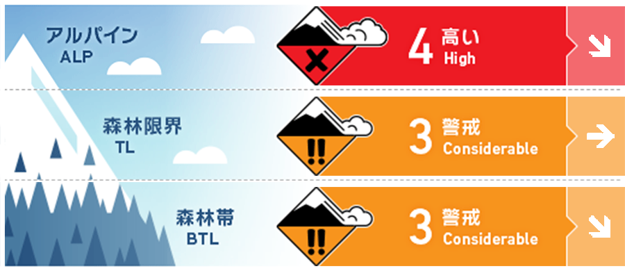
Travel and Terrain Advice
Conditions require careful terrain selection. Storm slabs are expected to form on steep slopes. Be careful not to induce sudden changes in slope level or from areas with few trees. Wind slabs are expected to form on steep slopes on the ridgeline and just below the ridge due to the strong winds that have been blowing since the 26th. Due to the low snowpack, "terrain traps" such as deep streams, cliffs, rocks, and standing trees are exposed, which can increase damage even if the size of the avalanche that occurs is small. Falling into gully is also a concern. Snow continues to fall with strong northerly winds. Please be aware of changes in snowfall and wind effects during the day.
Avalanche Problem
ストームスラブ Storm slab


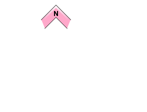

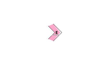
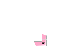
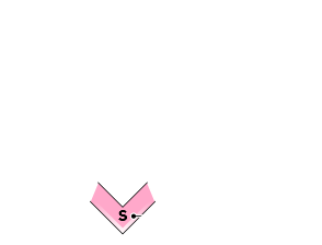
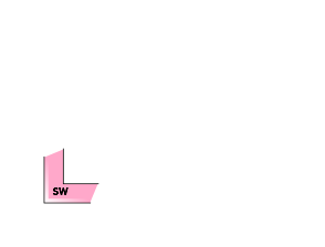


Beware of triggering in places where the slope changes abruptly
ウインドスラブ Wind slab


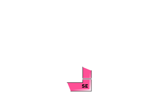


Be careful of steep slopes on the ridge and just below the branch ridge.
概要
Avalanche
No reports of new avalanches observed yesterday (27th), but limited observation due to low number of climbers due to stormy weather
Snowpack
More than 30-40 cm of new snowfall, influenced by strong winds, will be placed on top of the old snow. There is a layer of low density at the boundary with the old snow and bonding should be noted. No significant vulnerability in the middle to lower layers of the snowpack has been reported. The effect of the recent rainfall is expected below about 800 m elevation.
Weather
As of 4:00, the temperature at AMeDAS Fujiwara is -1.5°C. Snowfall is still continuing with winds. The Japan Meteorological Agency is forecasting cloudy skies at the foot of the mountains in northern Gunma Prefecture and clearing from midday, as the western high and low pressure pattern will gradually loosen, but the area will be affected by a pressure trough and cold air.

