
Avalanche Bulletin
更新日時: 2024/03/09 04:00
Kagura Tanigawa Hotaka
Alpine Low
Treeline Low
Below Treeline Fair
信頼度:○ good □ Fair △ Low
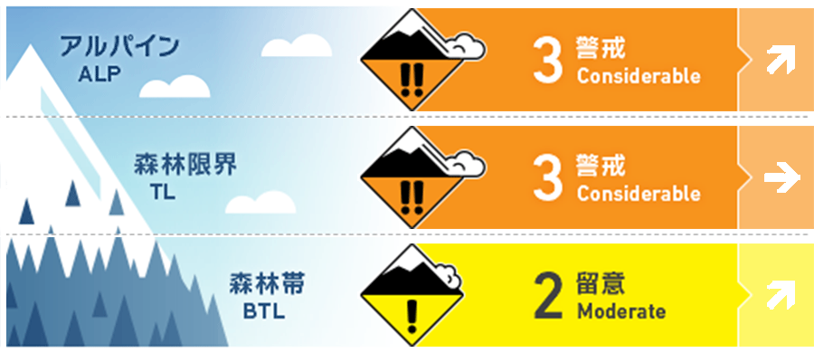
Travel and Terrain Advice
Beware of inducing storm slabs in areas where the slope changes abruptly or on open, steep slopes with few trees. In areas of high elevation or heavy snowfall, it is advisable to lower the slope. Even if the avalanche size is small, there are exposed "terrain traps" such as deep streams, cliffs, rocks, and standing trees that can cause more damage. Care should also be taken to avoid falling into gully. Also, please be mindful of group management to ensure that other skiers are not above or below you. The forecast is for a winter pressure pattern. Avalanche danger will increase with the amount of snowfall and winds. Please act with caution.
Avalanche Problem
ストームスラブ Storm slab


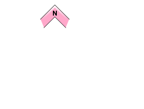

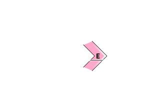
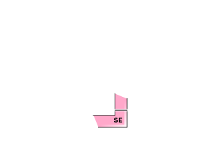
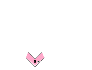


Beware of triggering on steep slopes.
概要
Avalanche
The occurrence yesterday (9th) was unknown. There have been reports of small loose snow avalanches over the past few days.
Snowpack
The upper part of the snowpack, which has been settling and tightening, and the upper part of the crust on the southerly slopes have a thin layer of low-density snowfall that has not been affected by the wind, and new snowfall that began last night is on top of this layer, requiring attention to bonding. The middle part of the snowpack is bonding and strengthening. In the higher elevations, some crusts are gradually bonding, with the upper part of the crusts that were buried on February 22nd showing evidence of crust crust crust crusting.
Weather
As of 4:00 pm, the temperature at Amedas Fujiwara is -2.6°C. 5 cm of snow has fallen in the past 12 hours. Snowfall is still continuing in the surrounding areas. The Japan Meteorological Agency is forecasting cloudy skies and snow from early afternoon in the foothills of northern Gunma Prefecture, with thunderstorms in some areas from early afternoon to early evening, as a low-pressure system over the Sea of Japan passes over the Tohoku region, creating a westerly high and easterly low pressure pattern.

