
Avalanche Bulletin
更新日時: 2024/03/29 04:00
Kagura Tanigawa Hotaka
Alpine Low No information on snowfall amounts
Treeline Fair
Below Treeline Fair
信頼度:○ good □ Fair △ Low
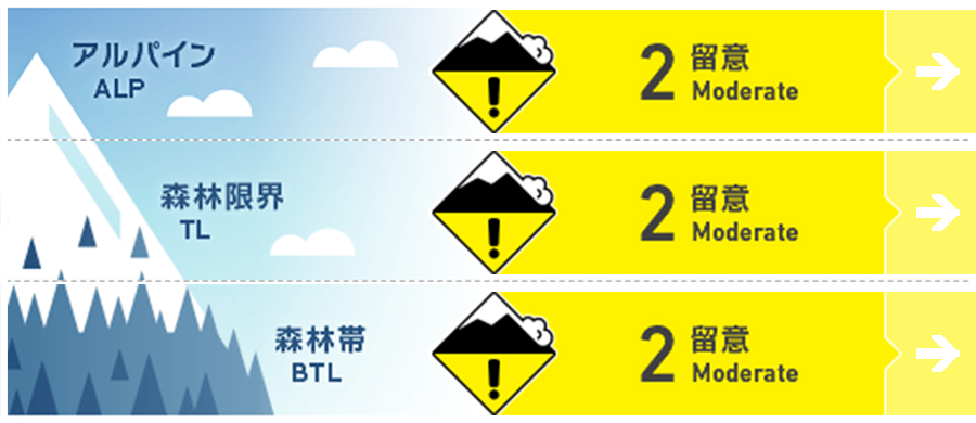
Travel and Terrain Advice
Note the presence of wind slabs formed on extremely steep slopes just below high elevation ridges and branch ridges, where the rain has turned to snow this time. Even if the avalanche is small in size, there are exposed "terrain traps" such as deep streams, cliffs, rocks, and standing timber that can increase the damage. Be careful about falling into gully. At lower elevations, where rainfall and elevated temperatures are stronger, watch for loose snow avalanches from large steep slopes and glide avalanches from glide cracks and cliff-like slopes. Do not enter the lower part of such areas or pass through them quickly.
Avalanche Problem
ウインドスラブ Wind slab





Be careful of steep slopes on the ridge and just below the branch ridge.
全層雪崩 Glide slab
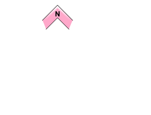

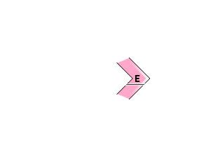
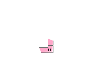



Beware of open cracks and cliff-like slopes.
点発生湿雪雪崩 Wet Loose snow


Beware of large steep slopes
概要
Avalanche
Yesterday (28th), there was a report of a human-triggered slab avalanche (size 1) observed on a northeast-facing slope near 1450m.
Snowpack
The snowpack is expected to be wet at least at elevations below 1,700 meters due to rainfall since last night. At elevations where it is turning to snow, strong southwesterly winds are expected to form wind slabs on the downwind stream bottom. There are no reports of significant vulnerability observed in the middle to lower layers of the snowpack.
Weather
As of 4:00, the temperature at Amedas Fujiwara is 8.4°C. 6.5 mm of rain has fallen in the past 12 hours, and rain is still falling in the surrounding areas. The Japan Meteorological Agency expects rain and clearing from midday as a low pressure system develops over a frontal area on the southern coast of Honshu and moves east of Japan. They also forecast that yellow dust may be observed.

