Avalanche Bulletin
更新日時: 2024/12/16 07:00
Niseko Yotei Yoichi Shiribeshi
Alpine Low Limited Observations
Treeline Fair Some recent observations in specific parts of the region
Below Treeline Good
信頼度:○ good □ Fair △ Low

Travel and Terrain Advice
Watch out for early season hazards such as sassa, rocks, sink holes, open creeks etc. Travel is still quite difficult due to the unconsolidated early season snowpack. Be prepared with appropriate equipment for backcountry travel, give yourself extra time and choose appropriate objectives for the early season conditions. Use caution when approaching the TL and Alpine zones as newly formed Windslab is developing and will become increasingly reactive with the added load and wind transport expected today.
Avalanche Problem
ウインドスラブ Wind slab


Moderate - Strong NW winds overnight has transported the fresh snow to leeward slopes forming fresh Windslabs and soft Cornices.
点発生乾雪雪崩 Dry Loose snow
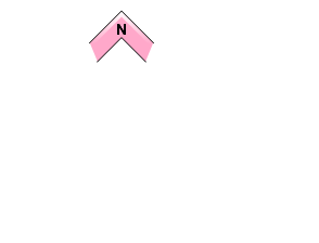


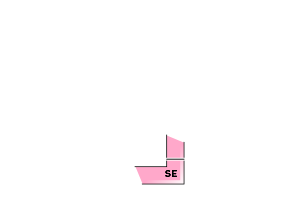






Beware of the Loose Dry problem on steep, sheltered slopes in the BTL zone
概要
Avalanche
No new avalanches observed or reported
Snowpack
15 - 30cm of new snow fell overnight which was accompanied by moderate Northwesterly winds at higher elevations. This brings our total snowfall from the past 2 weeks to a settled depth of around 120cm. Total snowpack depth is approximately 160cm. Snowpack is right side up, incresasing in density from the surface down to a deteriorating melt freeze crust located at the bottom of the snowpack on the Sassa / ground interface.
Weather
Moderate snowfall expected to continue throughout the day with moderate to strong West - North West winds across the region. Heavier snowfall expected overnight with winds easing off tomorrow. Temperatures are forecast to remain below zero at all elevations with a high of -5 anticipated at valley bottom level today.

