
Avalanche Bulletin
更新日時: 2025/01/07 07:00
Niseko Yotei Yoichi Shiribeshi
Alpine Fair Avalanche hazard will decrease as temperatures drop later in the day.
Treeline Good Avalanche hazard will decrease as temperatures drop later in the day.
Below Treeline Good Avalanche hazard will decrease as temperatures drop later in the day.
信頼度:○ good □ Fair △ Low

Travel and Terrain Advice
Travel at lower elevations (below ~600m) will be difficult as the snow surface will have a weak, breakable crust with a thin layer of wet snow underneath. Watch out for new Glidecracks as the warm temperatures increase the likelihood that they will open or release.
Avalanche Problem
点発生湿雪雪崩 Wet Loose snow


Use caution on steep slopes at low elevations if the snow feels wet and heavy
ストームスラブ Storm slab


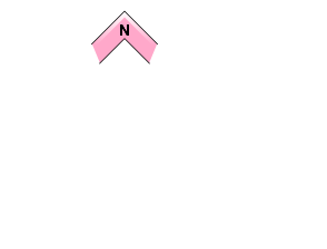

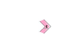
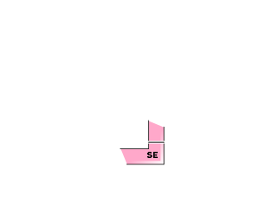


The storm slab was most reactive at TL elevation yesterday. Significant settlement at lower elevations has helped the storm slab settle and bond to the older mid-pack snow. Cooling temps will also cause the storm slab problem to become increasingly stubborn through the day.
概要
Avalanche
A size 1 Storm slab was triggered by a skier on a NE aspect at TL on Shiribetsu yesterday afternoon. The Slab was 50cm deep and 10m wide. It occurred on a steep convex roll at an elevation of 750m.
Snowpack
The warm temperatures yesterday made the snow surface wet below 600m. This will have resulted in a crust forming on the surface at lower elevations. The recent storm snow has settled significantly and increased in density due to the warmer temperatures. Solar aspects on Shiribetsu have several crusts within the upper snowpack.
Weather
Winds will shift to Moderate North and North-West at TL this morning as a low pressure system moves to the East of Hokkaido. Temperatures dropped slightly overnight but valley temps are still expected to remain close to 0C for most of the day today. Skies will be mostly Overcast with some sunny breaks and light snow showers forecast through the day today.


