
Avalanche Bulletin
更新日時: 2025/01/18 04:00
Kagura Tanigawa Hotaka
Alpine Low Wind effects and snowfall amounts unknown
Treeline Fair
Below Treeline Fair
信頼度:○ good □ Fair △ Low

Travel and Terrain Advice
Dangerous avalanche conditions are present at higher elevations where bonding is difficult to progress. Be aware of storm slabs on steep slopes and the presence of unbonded wind slabs on steep slopes just below the ridgeline and the ridge. We recommend that you stay below treeline where the slopes are less steep. Even if you are on a loose slope, be alert for large avalanche slopes overhead. Pay attention to other groups below you and the presence of "terrain traps" below you, such as gullies, cliffs, or standing trees, which could increase the damage in the event of an avalanche.
Avalanche Problem
ストームスラブ Storm slab


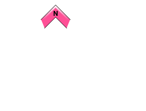


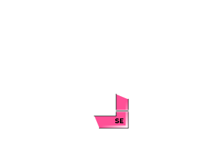



Beware of steep slopes with sudden changes in slope
ウインドスラブ Wind slab


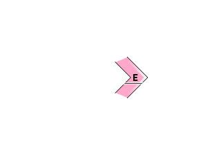
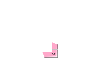


Beware of steep slopes on the ridge and just below the branch ridge.
概要
Avalanche
Yesterday (17th), there was a report of multiple human-triggered wind slabs (size 1) observed near 1400m in the Tanigawadake area; on the 16th, there were numerous human-triggered storm slabs (scythe 1-2.5) in the Tanigawadake area, and there was also an accident related to an avalanche bulletin that was reportedly transported by helicopter. Details are unknown.
Snowpack
Snowfall due to stormy weather since the 15th has amounted to more than 50 cm at around 1400 m, and snowfall is still continuing. Wind slabs are expected to form on the downwind slopes due to strong westerly winds from yesterday and into the morning. There is a low density of snow on the boundary surface with the old snow, and the bonding is weak and responsive to human stimulation. The crust that formed on the southern slope at the lower elevation and was buried on the 15th has a weakly bonding snowpack on the boundary surface and requires attention. The middle part of the snowpack is settling and bonding.
Weather
As of 4:00 pm, about 15 cm of snow has fallen since last night in the area around AMeDAS Fujiwara, and snowfall is still continuing. The Japan Meteorological Agency (JMA) is forecasting that the area will be covered by high pressure but cold air will affect the northern part of Gunma Prefecture, so it is expected to be cloudy and clear before noon, with snowfall in some areas until morning.

