Avalanche Bulletin
更新日時: 2025/01/18 07:00
Niseko Yotei Yoichi Shiribeshi
Alpine Low High degree of uncertainty exists
Treeline Fair Uncertainly exists with whether the storm slabs will become more active today if they get rapidly warmed.
Below Treeline Fair Steep solar slopes could warm rapidly today and it is uncertain if these will increase the danger.
信頼度:○ good □ Fair △ Low

Travel and Terrain Advice
Fair weather makes it easier to asses the terrain and keep track of your partners. It also tends to makes people feel bolder and take on more risk. What out. The snow still needs time for the wind and storm slabs to settle. Persistent weak layers have been found in the snow pack and there is uncertainty about their strength. Cornices have grown and are weak. Sunshine will warm them and make them more likely to break possibly triggering a larger avalanche. Careful assessment today. Large open slopes specially if the sun has warmed the surface snow. Avoid open slopes. If you ride one at a time you lower the chance of everyone getting caught. But if you are the last one riding and trigger a slide near the top it will take a long time for your partners to come to your rescue.
Avalanche Problem
ストームスラブ Storm slab


60+cm Warm temperatures and sun can activate storm slab activity.
ウインドスラブ Wind slab


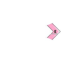
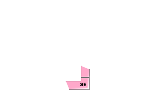


Numerous reports of wind transport yesterday in the alpine, and tree line strong wind slab over weaker loose snow.
点発生乾雪雪崩 Dry Loose snow


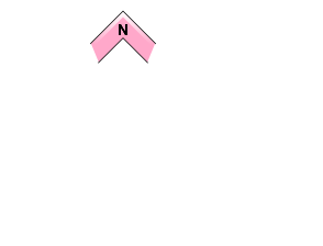


In very steep terrain, greater than 38 degrees, specifically where there is a crust below riders could produce a small dry loose avalanche.
概要
Avalanche
Fewer reported avalanches were reported yesterday. However there was significant new storm snow, wind loading and new wind slab formation. This was probably do to the stormy cold weather, poor visibility and cautious choices people were making. Mt Yotei @ 1600m Skier accidentally triggered a small size 1 Stormslab on a E asp, 10cm deep. Natural cornice fall avalanches were reported on the Moiwa Annupuri ridge about 900m
Snowpack
The snow pack is getting deeper with many areas reporting over 3 meters. There is easily over a meter of new snow on lee aspects in the alpine and 50-60cm of storm snow tree line with less below tree line. This new snow will need a little more time to gain bond. How it bonds to the older snow is a concern. If the top new snow settles rapidly with the heat from the sun or warm temperatures air it will gain strength on the surface but will still be weak under. This can activate and create larger storm slabs. This will be a concern today.
Weather
High pressure and fair weather has build over SW Hokkaido. Light winds clear to partly cloudy skies, and early morning snow showers ending. Temperatures remain cold but the sun shine will rapidly warm steeper southernly slopes

