Avalanche Bulletin
更新日時: 2025/02/22 06:00
Niseko Yotei Yoichi Shiribeshi
Alpine Fair
Treeline Fair
Below Treeline Fair
信頼度:○ good □ Fair △ Low

Travel and Terrain Advice
We continue a cautious approach today as we investigate and hope to build confidence that the latest storm snow has begun to settle. Earlier in the week numerous human triggered avalanches we overserved in the latest new snow and the bond on the new and old snow interface is questionable. Continue to be wary of large open terrain and natural trigger points as we slowly move further into the backcountry.
Avalanche Problem
ウインドスラブ Wind slab





Winds slabs have formed at higher elevations lee to the north west winds earlier in the week. Look for signs of wind pressed snow around ridgeline and for fresh cornice formations to indicate new load.
ストームスラブ Storm slab










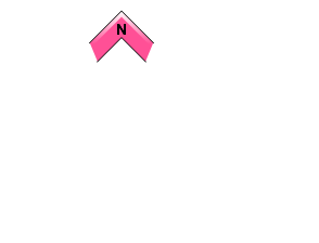


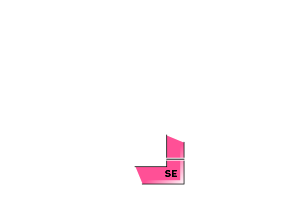



Remain cautious in protected areas where the latest storm totals have been higher, primarily in the north of the region. Investigate if this latest new snow has begun to settle.
点発生乾雪雪崩 Dry Loose snow


Human triggered loose dry activity may occur in steep terrain in the north of the region.
概要
Avalanche
No new activity was reported on the 21st across the region. Previously in the week, a number of human triggered and natural avalanches up to size 2 were observed within the latest new snow.
Snowpack
Recent clear skies and sunny conditions has helped to settle the latest storm snow across the region. Previous north west winds have redistributed and created slab on easterly aspects at higher elevations. Near tree line and below storm slabs have been noted as reactive in sheltered areas on the new and old snow interface. A melt freeze crust has also formed up to 1000m due to the latest solar input.
Weather
We can expect settled weather in the coming days with light north to north west winds are forecast. A bright and sunny morning today will make way to snow showers later in afternoon and overnight. Temperatures will hover around -5.

