Avalanche Bulletin
更新日時: 2025/02/01 07:00
Niseko Yotei Yoichi Shiribeshi
Alpine Low Little information available from the alpine areas
Treeline Fair New storm snow and continued winds maintains the avalanche hazard to day
Below Treeline Fair With more new snow expected the avalanche danger in the trees has now elevated from yesterday's advisory.
信頼度:○ good □ Fair △ Low

Travel and Terrain Advice
Remember that small Avalanches move through trees and are terrain traps. Even a small avalanche can have high consequences. This storm cycle is continuing today, keeping the hazard elevated. Caution is advised, and skiing at a ski area could be a good choice until the new snow has time to settle and fewer uncertainties about the avalanche problems exist. The snow is deep, and breaking the trail is slow and difficult. Less new snow can be found at lower elevations and on slopes lower than 35 degrees on the Shiribetsu and Yotie south side. If you want to tour the backcountry, this could be a better plan.
Avalanche Problem
ストームスラブ Storm slab


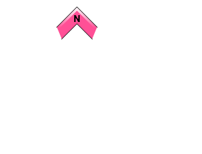















More new snowfalling has maintained the likelihood of human-triggered storm slabs today
ウインドスラブ Wind slab







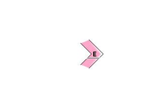
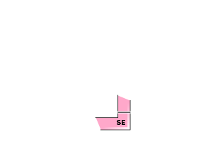








Winds are continuing to alter the snow grains and load them more rapidly onto Lee and cross-loaded features
点発生乾雪雪崩 Dry Loose snow












Generally Isolated to 38-degree slopes and steeper
概要
Avalanche
Several new human triggered Storm slab and wind slab avalanches were reported yesterday. One storm slab size 1.5 in the northern forecast area was triggered and carried the skier though the trees resulting in collision with tree and face injury. The avalanche occured on a steep NE aspect around 600m crown thickness was 10-20 cm thick and failed with in the new storm snow. Skier was breify knocked out. The Group responded professionally, able to self evacuated the skier out.The injured skier was treated and released from the hospital. A Japaness / english speaking members in the party were required for efficient EMS procedures and treatment.
Snowpack
The snowpack continues to get deeper with this storm cycle especially the Niseko range and Yoichi area. Steady northwest winds loading lee slopes and heavy amounts of continued snow. All this new loading has fallen on various suspect layers with 1/28 buried Surface facet/ Surface Hoar and snow crust combo a likely weak sliding layer. Avalanches have also been failing within the new snowpack, and these layers will take time to bond.
Weather
Higher pressure has built over Hokkaido. Yet The northwest flow continues today: More new snow is forecasted today, with higher amounts expected in the Yoichi and Niseko mountains. Again. South Yotie and Shiribetsu will receive less new snow today, and the possible sun breaks between lighter snow showers. Ridgetop Winds continue out of the NW, blowing snow, depositing on Lee and crossroads features in the Treeline and Above the tree line. Temperatures will remain well below freezing with freezing level below the surface. the Japan Meteorological Agency forecasts that Snow will continue tonight, heavy at times, while less new snow is expected for tomorrow.

