Avalanche Bulletin
更新日時: 2022/12/27 06:00
Hakuba
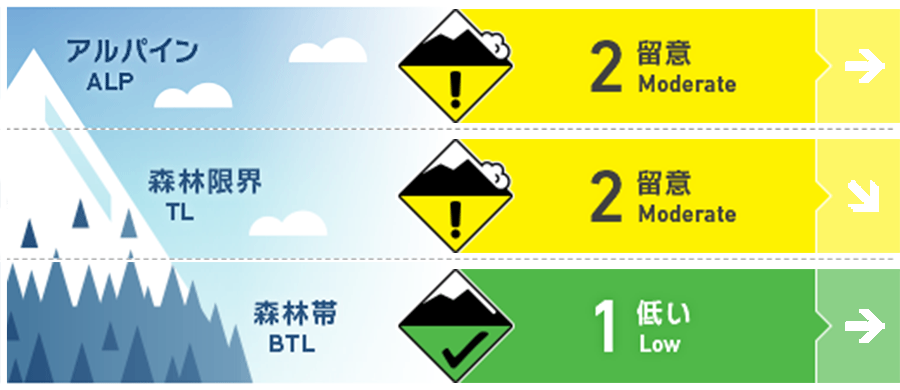
Alpine Low Watch out for wind slabs forming on the leeward side.
Treeline Low
Below Treeline Good Watch out for terrain traps.
信頼度:○ good □ Fair △ Low

Travel and Terrain Advice
This is a day to watch for instability remaining in certain terrain. Those gaining elevation should be alert for wind slabs that have formed in isolated areas of terrain. Please observe the terrain carefully and choose safe lines. Even if you sense a trend of stable snow cover, please continue to follow the principled course of action of moving at appropriate intervals and resting in safe areas. This will reduce the number of accidents and increase the chances of survival and rescue in the event of an emergency. Have a good day.
Avalanche Problem
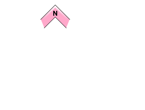
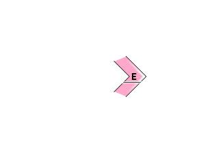
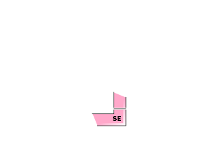
ウインドスラブ Wind slab


Also note the cross loading.
ストームスラブ Storm slab


概要
Avalanche
No new avalanches were observed yesterday (December 26) due to the low number of mountain users and poor visibility.
Snowpack
New snow accumulation due to the series of stormy weather that began with the passage of a low-pressure system on December 22 reached 120 cm in the upper part of the below treeline, and settling is progressing steadily. Yesterday, the snowfall had ceased, but strong northwesterly to northerly winds blowing around the treeline, causing the snow to drift to the leeward.
Weather
The Japan Meteorological Agency is forecasting a wintry pressure pattern for northern Nagano Prefecture at first, but it is expected to gradually loosen, with cloudy and sometimes sunny skies, with some snow showers until early afternoon, and a maximum temperature of 4°C (418m elevation).

