
Avalanche Bulletin
更新日時: 2023/02/13 05:30
Hakuba
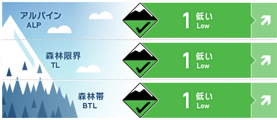
Alpine Good Watch for future snowfall. Danger level is as of morning.
Treeline Good Watch for future snowfall. Danger level is as of morning.
Below Treeline Good Watch for snowfall or rainfall in the future. Danger level is as of morning.
信頼度:○ good □ Fair △ Low
Travel and Terrain Advice
Although the avalanche danger level is low at the time the avalanche bulletin is issued, this is a day when the danger level will increase due to future weather phenomena. Please pay close attention to the nature and changes in weather in the field. As a general theory a few hours of intense snowfall (3 cm/hr), plus winds (8-11 m) that are enough to shake a few trees, may have to build a potential snowpack on lee side slopes that could bury a person. By paying attention to weather phenomena, it is possible to infer slopes of increased danger, so please select slopes with a high degree of safety. The weather is clearly worsening. Please plan your activities with this in mind. Inexperienced or unskilled skiers are advised to ski within the ski area, as the snow conditions are poor in many areas due to solar radiation and high temperatures.
Avalanche Problem
ストームスラブ Storm slab


Watch for more snowfall in the future.
概要
Avalanche
Yesterday (February 12), a size 1.5 wind slab avalanche was observed on the northeast slope of Alpine. A size 1 slab avalanche was also observed on the eastern slope of the Treeline. Both are skier-triggered. In addition, many loose snow avalanches were observed on sunny slopes Below Treeline.
Snowpack
Snow associated with the passage of a south coast low pressure on February 10 was moved by the strong westerly winds that followed, forming hard wind slabs at isolated terrain features. In addition, high temperatures and solar radiation following the snowfall quickly eliminated the instability of the storm snow, while at the same time keeping the snow surface layer sufficiently wet at lower elevations. As of last night, only a very localized wind slab instability remained on the mountain. The next cycle of stormy weather is coming. Whether it will be snow or rain will have a significant impact on the snowpack. Weather observation in the field will be important.
Weather
The Japan Meteorological Agency is forecasting northerly winds, snow or rain, occasionally cloudy, with a high of 4°C (418 m elevation) for northern Nagano Prefecture. At the valley of Hakuba (elevation 703m), the temperature is -0.2°C (as of 5:00), and 1 cm of snow has fallen in the past 12 hours.
