
Avalanche Bulletin
更新日時: 2024/12/30 07:00
Myoko
Alpine Low
Treeline Low Depends on the strength of the wind effect.
Below Treeline Good
信頼度:○ good □ Fair △ Low

Travel and Terrain Advice
Avalanche danger is decreasing, but instability has not yet been eliminated. Two particularly important reminders today: First, look for combinations of wind slab formations and terrain geometry. The combination of slab formations and terrain that is convex or does not support a snowpack will trigger an avalanche. Second, pay attention to weather changes during the day. This is the day when snow conditions can change dramatically, especially on steep slopes that are strongly affected by rising temperatures and solar radiation. Please follow the basic rules of conduct such as stopping in safe areas and skiing one at a time, and continue with conservative route setting. Have a good day.
Avalanche Problem
ウインドスラブ Wind slab


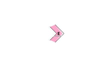
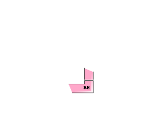


At higher elevations than in the upper treeline, be very wary of terrain stations that have an upside-down structure (upper layers are more dense and lower layers are less dense). In addition to the simple ridge nadirs, watch out for slabs that wind around and form terrain, such as the sides of a branch ridge.
ストームスラブ Storm slab


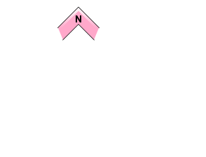


Because the snowpack upper layer is very soft, even a small avalanche can become deeply buried and potentially fatal if swept into a deep gully. Even if the snowpack feels stable, it is a very important day to observe the terrain and act conservatively.
概要
Avalanche
Yesterday (29th) was also a stormy day, and no data on avalanche activity in the mountains was received.
Snowpack
Below the tree line, the snowpack from the heavy snowfall since December 26 has been observed to consolidate and sinter well. No significant weak layers have been observed. Snowfall at Sasagamine, a fixed weather station, is light, but on the east side of Myoko (around Akakura), about 20 cm of fresh snow fell yesterday. At higher elevations, strong westerly to northerly winds have been blowing continuously since yesterday, so we need to be very vigilant for the formation of wind slabs.
Weather
The Japan Meteorological Agency is forecasting a southerly, late, southwesterly wind, cloudy, sunny from early afternoon to early evening, with a daytime high of 10 °C (13 m elevation) for the Joetsu region of Niigata Prefecture. At Sasagamine, Myoko (elevation 1,310 m), the temperature is -6 °C (as of 5:45 a.m.), with 1 cm of snow having fallen in the past 12 hours and 17 cm in the past 24 hours.

