Avalanche Bulletin
更新日時: 2025/02/23 06:00
Niseko Yotei Yoichi Shiribeshi
Alpine Fair
Treeline Good
Below Treeline Good
信頼度:○ good □ Fair △ Low

Travel and Terrain Advice
With settled weather and light snowfall over the previous few days we continue to predict a strengthening trend in the upper snowpack. This prediction however requires testing to promote confidence, our focus remains in questioning the reactivity of the most recent storm snow. Loose dry activity has been observed in steep terrain requiring safe travel management around terrain traps.
Avalanche Problem
ウインドスラブ Wind slab





In the alpine and near ridgelines pockets of wind slab remain on aspects lee to the north west winds. Be cautious of convex rolls and cross loaded features on easterly aspects.
ストームスラブ Storm slab




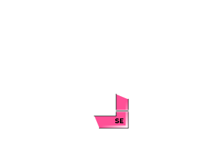



In the north of the region storm slabs remain in protected areas. Be wary of areas where storm snow accumulation is higher and may overload the previous snow surface.
点発生乾雪雪崩 Dry Loose snow


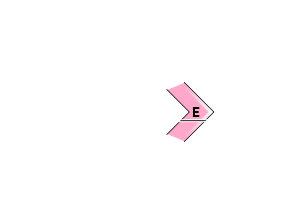
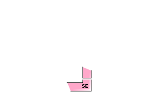
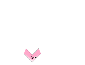


In steep shaded aspects, loose dry activity may be possible. Be wary of terrain traps below you if crossing this terrain.
概要
Avalanche
Isolated loose dry activity was reported in steep terrain on the 22nd.
Snowpack
Solar aspects warmed under clear skies and sunshine on Saturday resulting in a curst forming on the surface at lower elevations. Shady northly aspects have begun to breakdown and become less cohesive near the surface. Isolated pockets of surface hoar was observed in the treeline and below. The mid to lower pack remains well bonded.
Weather
We continue to feel the effect of a low pressure system sitting to the east of Hokkaido. This weather system is expected to bring light to moderate north west winds and snow flurries throughout the day.

